County
Sides Painted
2
Color
Black, Red
Structure
Barn
Unique Characteristics
None
Still Standing
No
Credits
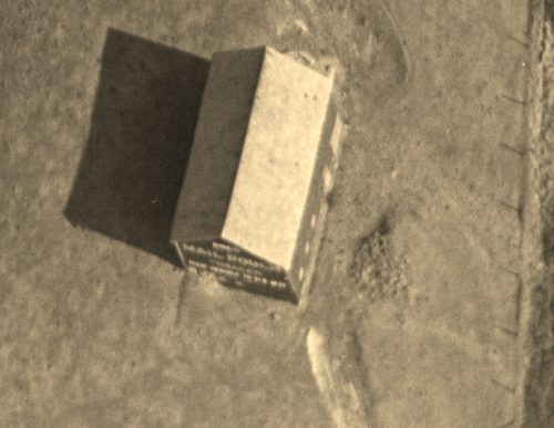
Photos 1 & 9 by unknown ODOT # 838-9-181 (Dec. 3, 1956) courtesy of Ohio Dept. of Transportation
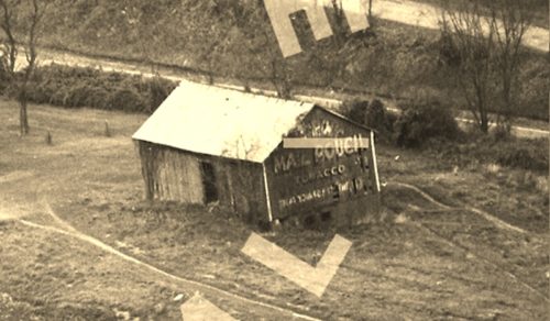
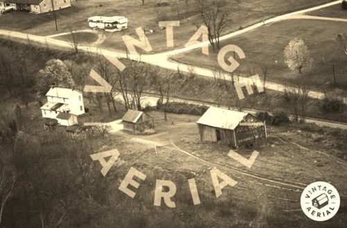
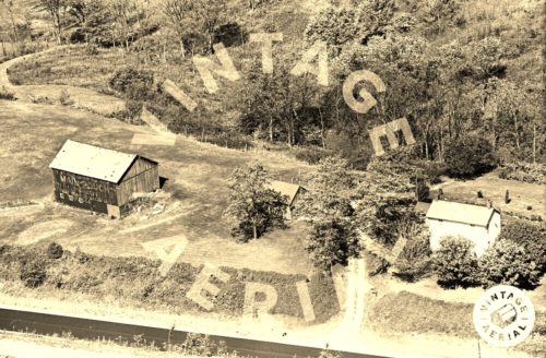
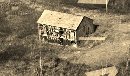
Photos 2 & 3 by unknown VA # 16-EGU-19 (1975) courtesy of Vintage Aerial
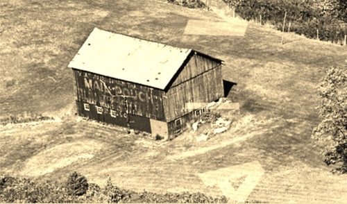
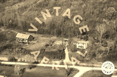
Photos 4 & 5 by unknown VA # 22-SGU-5 (1964) courtesy of Vintage Aerial
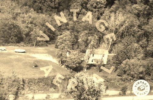
photos 6 & 7 by unknown VA # 62-HGU-6 (1981) courtesy of Vintage Aerial
Photo 8 by unknown VA # 25-XGN-3 (1986) courtesy of Vintage Aerial
Photo 10 by unknown ODOT # 10641-54405-206 (Mar. 1, 1988) courtesy of Ohio Dept. of Transportation
Photo 11 by unknown ODOT # 762-3-41 (May 20, 1956) courtesy of Ohio Dept. of Transportation
Photo 12 Google satellite image.
Other Information
Photo 1 is a magnified and rotated view of Photo 9 for better view of the west end Mail Pouch sign.
Photo 2 is an enlarged inset view from Photo 3; Photo 4 is an enlarged inset view from Photo 5; and, Photo 6 is an enlarged inset view from Photo 7
The Ohio Dept of Transportation aerial photo archives were used to assist in locating this barn
Photo 1 is a view of the west end of the barn taken in 1956. At that time the sign had a black background and there was no Mail Pouch sign on the south side of the barn.
Photos 2 & 3 show that by 1975 the west end of the barn had been repainted and the backgound color changed to red.
Photos 4 & 5 show that sometime between 1956 and 1964 a Mail Pouch sign with a black background had been painted on the south side of the barn.
Photos 6 & 7 show that by 1981 the barn's condition was in serious decline.
Photo 8 shows that by 1986 the barn was gone and the site of the barn cleared. The house and other outbuildings remain.
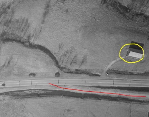
Photo 9 shows the location of the barn in relation to US-40 (E Pike Rd) and a section of the old red brick portion of old US-40 (red line).
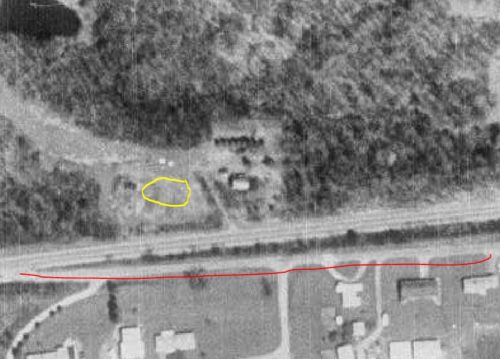
Photo 10. Yellow circle shows the former location of the Mail Pouch barn and the red line marks the old red brick portion of old US-40.
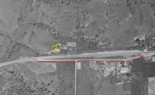
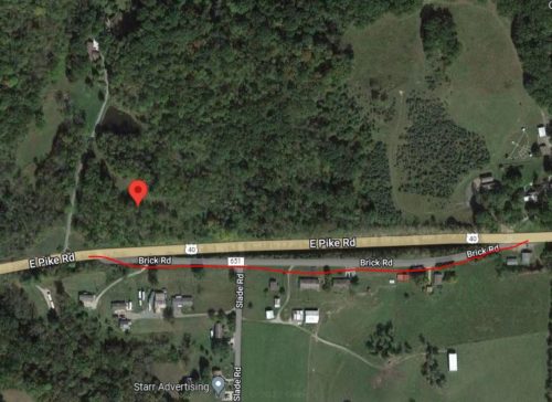
Photo 11 is a 1956 image showing the barn circled in yellow and the old red brick portion of old US-40 shown with the red line. This is provided for coordination with Photo 12 (Google satellite image) In Photo 12 the red pin marks the location of where the barn once stood. This pin was used to develop the address and the coordinates. Note in Photo 12, a recent Googe satellite image (ca. 2022) that the site is now completely overgrown.
Where to find it
*GONE* (razed and removd) Along the north side of US-40 (E Pike Rd) east of I-77 interchange - 46, by 5.3 miles. The barn was on the left side of the highway headed east from Cambridge. The Mail Pouch end (original Black Background, later Red Background) faced west and the Mail Pouch side faced south. South side was always a Black Background.
Address
14481 E Pike Rd (US-40)
City
Cambridge
State
OH
Zipcode
43725
Country
USA
Latitude
N 40° 02.3216'
Longitude
W -81° 28.10.59'
lat
40.038693
lng
-81.468432
