*GONE* (burned down) Along the southwest side of Mason Lewis Rd. (KY-10) southeast of Carmel St., in Maysville, by about 2.5 miles. The barn was on the right side of the highway headed southeast. The Mail Pouch sign faced northeast. One side. Black background.
Along the southwest side of US-62 (Bucktown Rd.) just southeast of Robertson county line. About 2000 feet past 5 Lick Hill Road in Sardis. On right side headed southeast. Sign faces southeast. One side. Black background.
*GONE* (razed and removed) Along the north side of US-68 southwest of KY-324 (Raymond Rd.), in Mays Lick, by about 4.4 miles. The barn was on the right side of the highway headed west. The Mail Pouch sign faced southwest. One side. Black background.
*GONE* (covered & faded away) Along the west side of KY-419. From the KY-11/KY-559 junction north of Flemingsburg, follow KY-11 (Maysville Rd.) north for about 11.0 miles to intersection with KY-419. At intersection with KY-419 make left onto KY-419. Go about 600 feet. The barn on right side of the road headed south. Two sides. Black backgrounds.
*GONE* (covered over)* Along the northeast side of Mason Lewis Rd. (KY-10) west of Day Pike, in Plumville, by about 2.2 miles. The barn is on the right side of the highway headed northwest. The Mail Pouch sign faced northwest. One end. Black background.
Along the west side of old US 68 Loop 5 south of intersection with US-68 by 1500 ft. The barn is on the right side of the highway while traveling south, just past intersection with Longnecker Rd. One end. Mail Pouch sign faces south. Black Background.
*GONE* Market St. between 2nd St. & Front St., in Maysville. One side. Brick building. Black background.
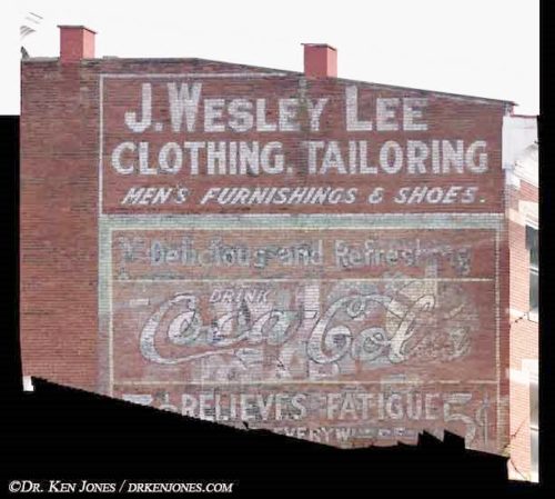
Northeast corner of the E. 2nd St. & Market St. intersection, in Maysville. The OWL sign faces northeast. One side. Four-story brick building. Original background color unknown - possible green. Greatly faded.


