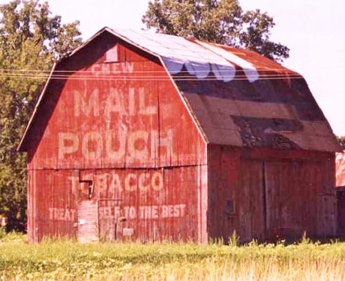
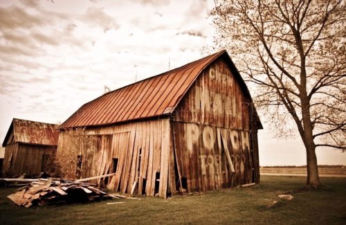
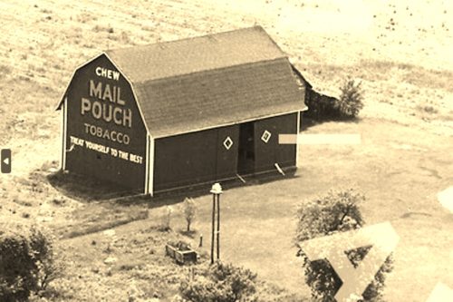
*GONE* (fallen & removed) Along the south side of S. Custer Rd. (MI-50) east of US-23, in Dundee, by about 2.7 miles. The barn was on the right side of the highway headed east. The Mail Pouch sign faced east. One end. Original Black background.
*GONE* (razed and removed) Along the north side of E. Dean Rd. east of S. Dixie Hwy. (MI-125) by about 0.2 mile. North of Toledo. The barn was on the left side of the road headed east. Mail Pouch sign on both ends (east & west) and on the south side. Black backgrounds.
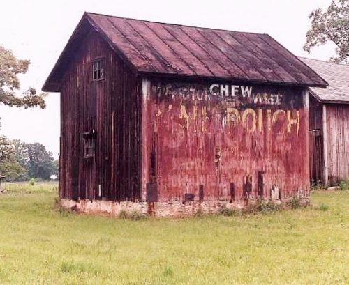
Along the northwest side of S. Dixie Hwy. (MI-125) southwest of E. Dunbar Rd., in Monroe, by about 4.9 miles. The barn is on the right side of the highway headed southwest the Mail Pouch sign faces northeast. One side. Black background, Greatly faded.
*GONE* (razed and removed) Along the east side of N. Dixie Hwy. south of Huron River Dr., in Rockwood, by about 3.4 miles. From Huron River Dr., in Rockwood, take Dixie Hwy. south to Ready Rd. about 1.4 miles. At that intersection take N. Dixie Hwy. south about 2.0 miles to the barn site. Just south of Labo Rd. The barn was on the left side of the highway headed south. The Mail Pouch sign faced north. One end. Black background.
*GONE* (painted over) Along the south side of Ida Center Rd. west of US-24 intersection by 10.7 miles. To access the barn site from US-24 take S. Otter Rd west exit and almost immediately turn left onto Yargerville Rd. Follow Yargerville Rd. (it becomes Ida Center Rd. at intersection with Minx Rd.) 10.6 miles to the barn on the left side of Otter Center Rd. The Mail Pouch sign faced east. One end. Red background.
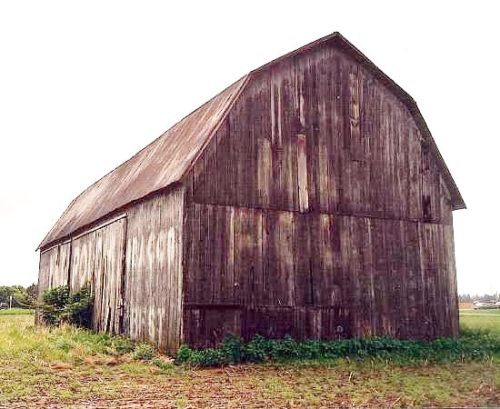
*GONE* (faded away) Along the southwest side of Wood Rd. southeast of the intersection with US-24 by 0.1 mile. The barn is on the right side of Wood Rd. headed southeast from US-24. Mail Pouch sign on the northwest end. Mail Pouch sign on the southwest side. Black backgrounds.
Along the northwest side of Brandon Rd. northeast of the Swan Creek Rd. intersection, in Newport, by 1.0 mile. The barn is on the left side of Brandon Rd. headed northeast out of Newport. Mail Pouch sign on the southeast side and a Mail Pouch sign on the northeast end. Black backgrounds. Greatly faded.
*GONE* (razed and removed) Along the northwest side of Ida Maybee Rd. southwest of the intersection with Stone Rd. by 0.8 mile. The barn was on the right side of Ida Maybee Rd. headed southwest from Stone Rd. The Mail Pouch end faced southwest. The Mail Pouch side faced southeast.
