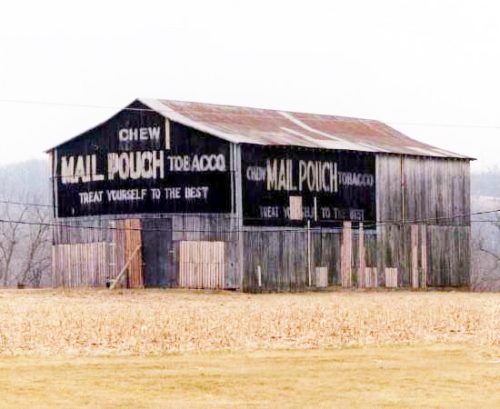
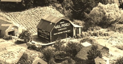
US-52 east of IN-229 by about 2600'. The barn is on the right side of the highway headed east. The barn is visible between the houses in the distance. A better view of the barn can be had by continuing east on US-52 to Duck Creek Rd. Make a right onto Duck Creek Rd and follow it to the end bearing right onto Dinsmore Rd. The barn is toward the end of Dinsmore Rd. and backs up on the road. One end. One side. Black backgrounds.
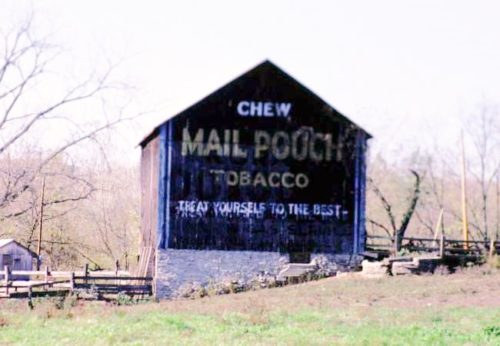
*GONE (fallen & site cleared)* US Rt. 52 (Harrison Brookville Rd.), northwest of I-74 (exit 169) by about 5.9 miles. The barn was on the left side of the highway headed northwest. The MP sign faced northeast. One side. Black. faded.
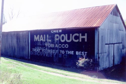
US Rt. 52 north of North St. in New Trenton by about 500'. The barn is on the right side of the highway headed north. One end (faces south). One side (faces west). Black. Greatly faded.
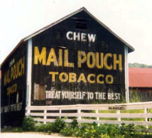
*GONE (fallen)* US Rt. 52 northwest of IN Rt. 101 by about 2.4 miles. The barn was on the left side of the highway headed northwest. The MP sign faced northeast. One end. Black.
*GONE* US Rt. 52 east of Anderson. One side. Black.
*GONE* Along the north side of Hwy 52 (US-52) southeast of the intersection with IN Rt. 244, in Andersonville, by 0.4 mile. The barn was on the left side of the highway headed southeast. Two Mail Pouch signs. One on the west side and one on the south end. Balck background.
