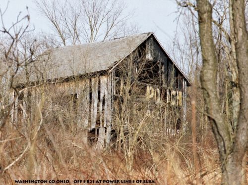
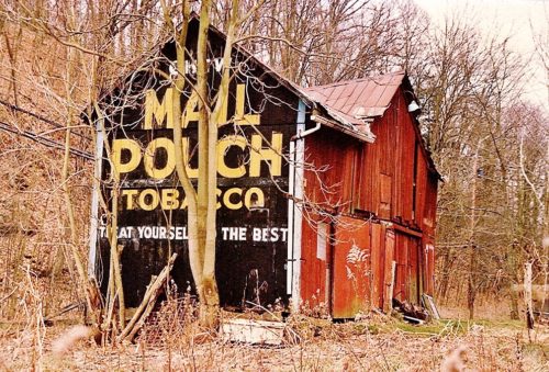
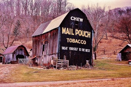
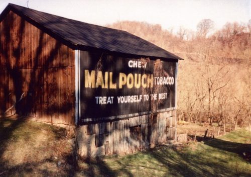
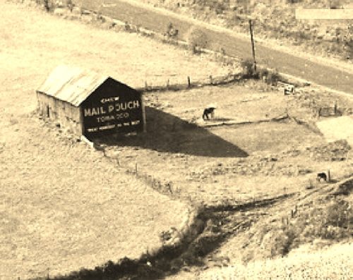
*GONE* (fallen) OH Rt. 821 north of OH Rt. 530 by about 2.6 miles. The barn was on the right side of the highway headed north. The Mail Pouch sign faced south. The barn was quite a distance off the road, up on a hill in the trees and was difficult to see. One end. Black background.
*GONE* (razed and removed) OH Rt. 550 west of OH Rt. 7 by 0.9 mile. The barn was on the left side of the highway headed west just before entering Pinehurst. Two ends. Black.
Muskingum River Rd. (Rt 32) southeast of the intersection with Rt.60 (New Bridge St.), by 1.5 miles. The barn is on the left side of the highway headed southeast. The Mail Pouch sign faces west. One side. Black.
*GONE (razed and removed)* OH Rt. 26 southwest of OH Rt. 260 by about 5.0 miles. The barn was on the right side of the highway headed southwest. The MP sign faced east. One end. Black.
*GONE* (razed and removed) OH Rt. 26 north of Dart. From the Williamstown Bridge access (OH Rt. 60) & OH Rt. 26 (Greene St.) intersection, in Marietta, follow OH Rt. 26 (Greene St.) northeast about 15.0 miles. The barn was on the right side of the highway headed north. Two sides. Black.
*GONE* (razed and removed) Along the south side of OH Rt. 550 west of the OH Rt. 339 intersection, in Barlow, by 1.7 miles. The barn was on the left side of the highway headed west from Barlow. The Mail Pouch sign faced east. One end. Black background.
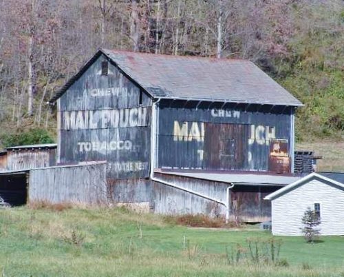
OH Rt. 821 (Cambridge Rd.), north of I-77, exit 6, by about 2.3 miles. The barn is on the left side of the highway headed northeast. One end (Mail Pouch & WOW). One side Mail Pouch. Black. Greatly faded.
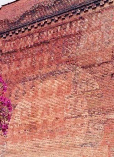
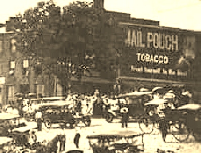
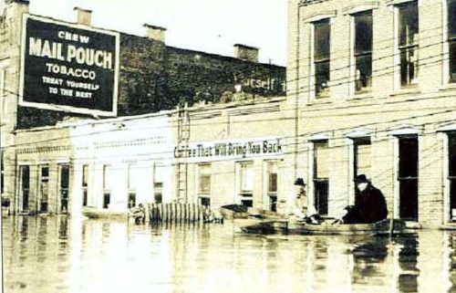
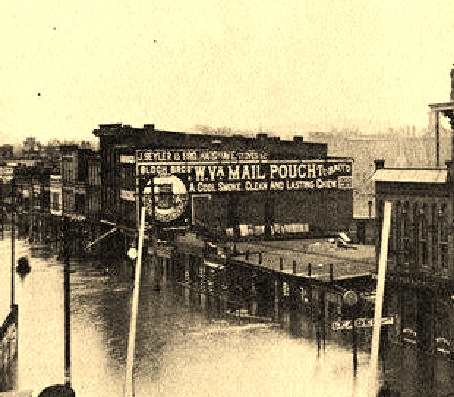
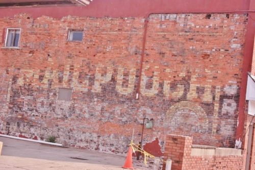
Northwest corner of Front St. & Monroe St., in Marietta. At 155 Front St. between Monroe St. & W. Butler St. On the left side of the street headed northwest. The MP sign faces southeast. One side. 3-story Brick building. Original black background. Greatly faded.
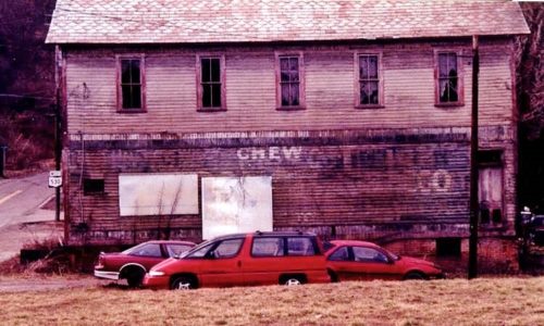
*GONE* (razed and removed) The building was at the OH Rt. 821 & OH Rt. 530 intersection, in Warner. Head west through Warner on OH Rt. 821. OH Rt. 821 turns north (West St.) continuing straight ahead becomes OH Rt. 530. After turning north onto West St. (OH Rt. 821), the 2-story wood building with the Mail Pouch sign was directly on the left. The Mail Pouch sign faced east. One side 2-story wood building. Building primarily white. Mail Pouch sign had black background.
Twp. Rd. 557. Take Twp. Rd. 278 (Wyncrest Rd.) north from OH Rt 550 about 2.3 miles. Left onto Twp. Rd. 557. First driveway on left. The MP sign faces north. One side. Black.
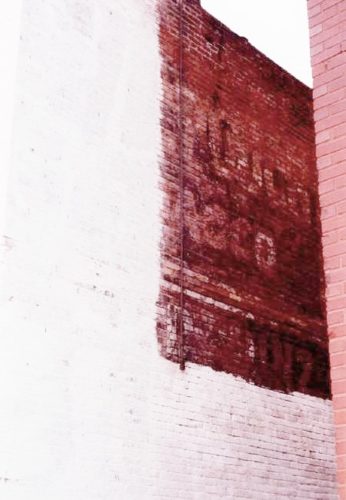
Front St. southeast of W. Butler St. The building is on the right side of the street headed northwest. The sign faces southeast. One side 2-story brick building. Brown brick. MP sign greatly faded where it has not been painted over with white paint. Across the street from MPS 35-84-17.
Park Building on Front St., in Marietta. The Park building is about mid-way between Butler St. & Union St. The building is on the right side of Front St. headed northwest from Butler St. toward Union St. Two sides. Brown. Greatly faded.
*GONE (mostly faded away)* Front St., in Marietta, between Butler St. and Union St. The building is on the right side of Front St headed northwest from Butler St. toward Union St. One side. Black background.
Southwest corner of Green St. & 2nd St. intersection, in Marietta. The MP sign faces southwest. One side. Two-story brick building. Black.
