Other Information
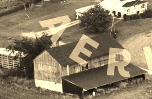
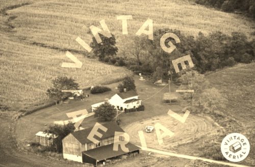
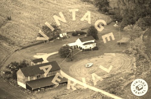
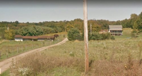
The oginial barn has been removed. A much shorter structure was subsequently erected on the foundation of the original barn. The Sept. 2014 Google street view (Photo 4) clearly shows the modified barn as well as the existing house which is visible in Photos 2 & 3.
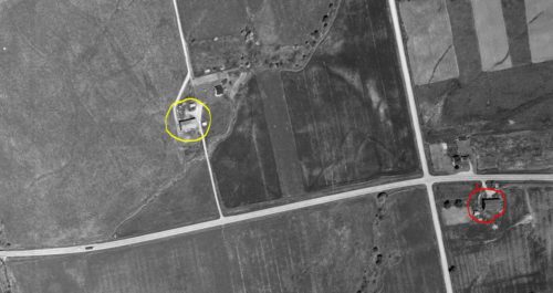
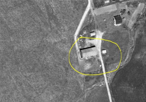
Photos 5 & 6 are both images from an Apr. 29, 1955 ODOT Aerial Photo. In Photo 5 MPB 35-03-13 is circled in yellow at the left of the view. MPB 35-03-05 is circled in red at the right of the view. In Photo 6 which is a closer view of Photo 5 the Mail Pouch sign on the west end of the barn is slightly visible.
Where to find it *GONE* (razed see comment 1 below) OH-30A (Old US-30), east of OH-89 (High St), in Jeromesville, by 2.0 miles. The barn was on the left side of the highway headed east from Jeromesville. The Mail Pouch sign faced west. One end. Black Background.
