Other Information
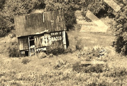
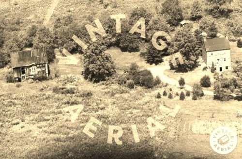
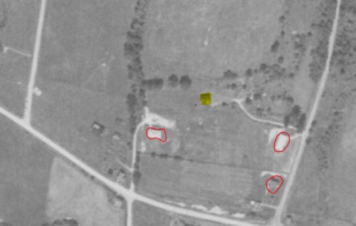
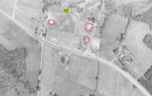
Photo 1 is an enlarged inset image from Photo 2.
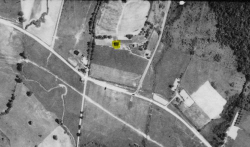
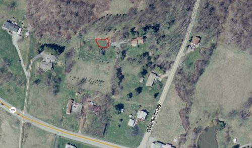
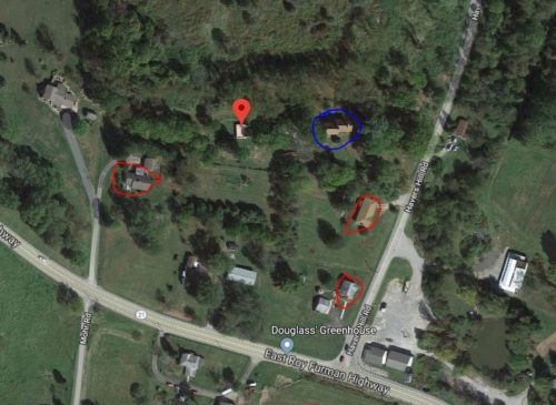
The Penn Pilot program and the tools offered by PASDA Pennsylvania Imagery Navigation were used to determine where this WOW tobacco barn once stood.
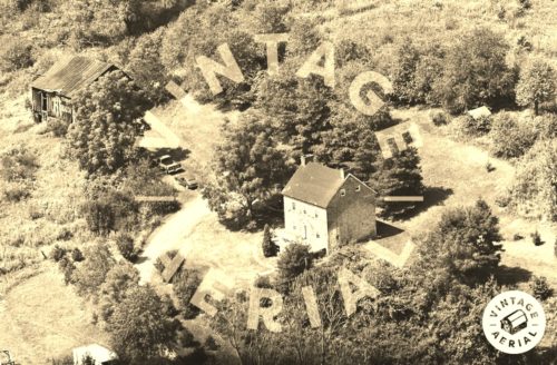
The barn is highlighted in yellow in photos 4-6. In photo 7 the location of where the barn once stood is circled in red. The red pin on the map in photo 7 identifies the barns location. In addition, various features in photo 5,6 & 8 are circled in red for coordinating features in locating the barn. In photo 8 the house pictured in photos 2 & 3 is circled in blue. The original house remains with obvious addition and modifications.
Where to find it *GONE (razed and removed)* Along PA Rt. 21 (E. Roy Furman Hwy.) northwest of Crees Rd. intersection, in Khedive, by 0.7 miles. The barn was on the hillside along the right side of the highway. The WOW Tobacco sign faced south toward PA Rt. 21. One side. Black background.
