MPB/MCB 38-10-15

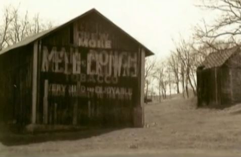
Photo 1
Sides Painted
1
Color
Black
Structure
Barn
Unique Characteristics
None
Still Standing
No
Credits

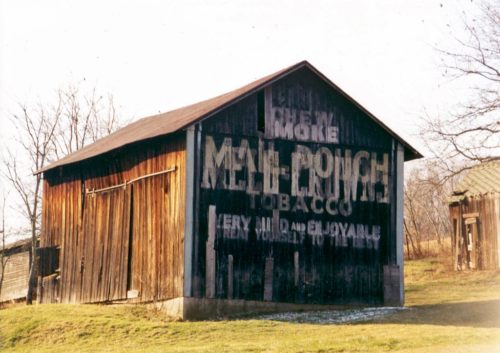
Photo 1 by Gyla Schnauffer (Mar. 4, 2000).

Photo 2 by unknown. 

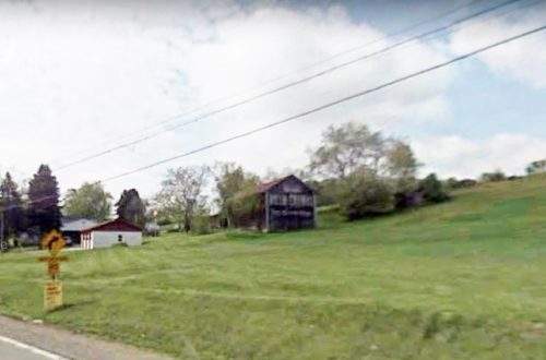
Photo 3 Google Earth street view (May 2009). 

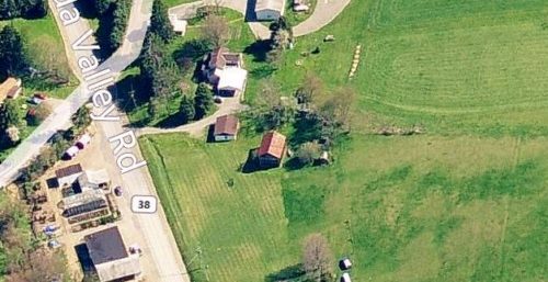
Photo 4 Bing bird's eye view (2012).

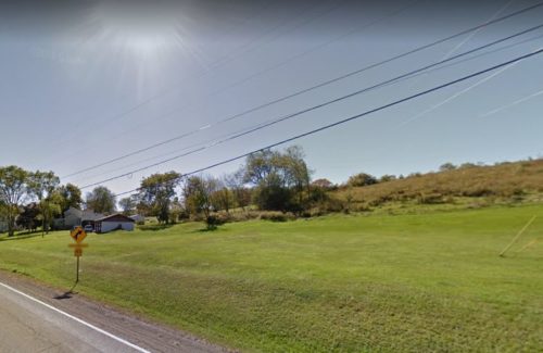
Photo 5 Google street view (Oct. 2016).
Other Information

Photo 5 Oct. 2016 Google street view shows that this barn was gone by 2016.

Where to find it

*GONE* (razed and removed) Along the southwest side of Oneida Valley Rd. (PA-38) north of US-422 (Benjamin Franklin Hwy.) by about 7.8 miles. The barn was on the left side of the highway headed north. The MP/MC sign faced north. One end. Black backgrounds.
Address
1227 Oneida Valley Rd (Pa-38)
City
Chicora
State
PA
Zipcode
45701
Country
USA
Latitude
N 40° 57.6465'
Longitude
W -79° 49.9340'
lat
40.96077488
lng
-79.83223412
  • Photo 2
  • Photo 3
  • Photo 4
  • Photo 5