Other Information
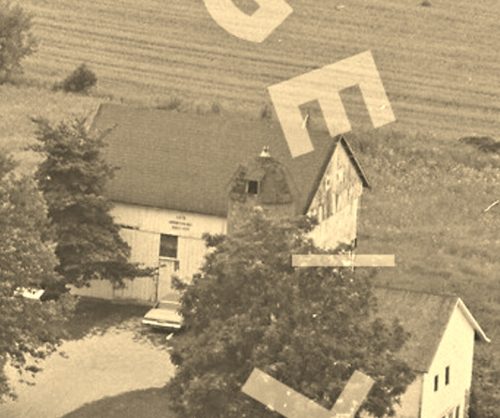
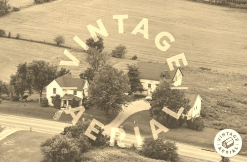
Photo 2 is an enlarged inset view from Photo 3.
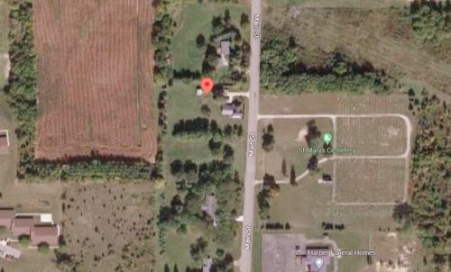
Historic Aerials' imagery (1981) was used to locate this barn. The distance measurement tool was used to obtain the decimal coordinates for the barn. The coordinates were input to the Google map program and on Photo 5 the red pin is the exact location where the barn once stood.
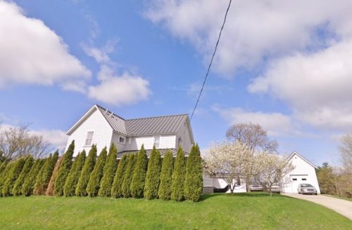
Photo 4 is a Google street image looking onto the site at the house (visible in Photo 3) which still remains. The other buildings in the Photo 3 view have been razed and removed.
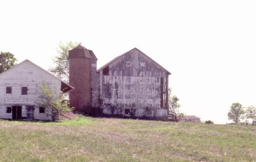
Where to find it *GONE* (razed and removed) Along the west side of Main St. (old state rd 3) north of Albion St. intersection, in Avilla by 0.7 mile. The barn was on the left side of Main St. headed north out of Avilla. The Mail Pouch sign faced north. One end. Black background.
