MPB 14-24-06

Photo 1
Sides Painted
2
Color
Black
Structure
Barn
Unique Characteristics
None
Still Standing
No
Credits

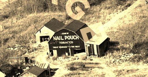
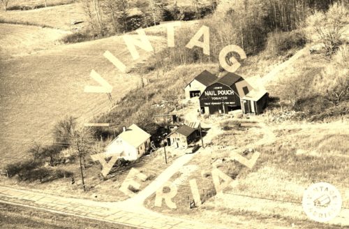
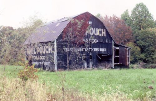
Photos 1 & 2 by unknown VA # 15-OFR-4 (1972) courtesy of Vintage Aerial

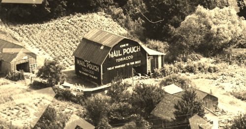
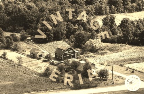
Photos 3 & 4 by unknown VA # 40-EFR-4 (1976) courtesy of Vintage Aerial

Photo 5 by Rick Curnutt (Sept. 1982 - contributed by his daughter Jill Curnutt-Howerton).

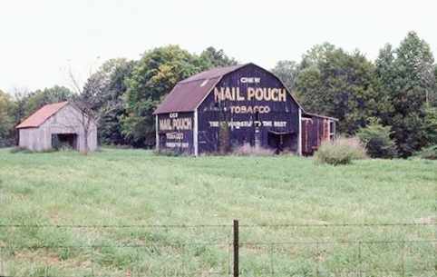
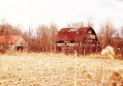
Photos 6 & 7 by Tom Plimpton (1983).

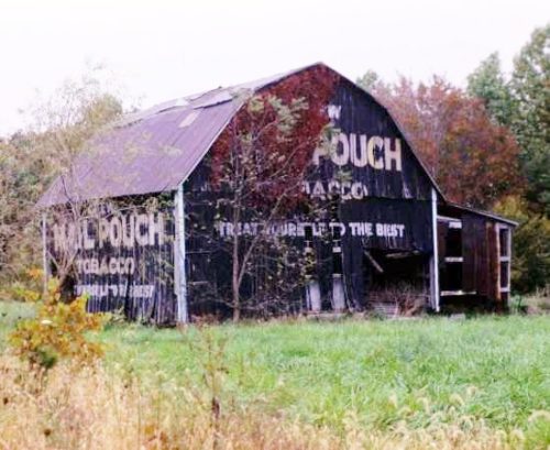
Photo 8 by Dave and Mary Ann Shaver (Nov. 23, 1989).
Other Information

Photo 1 is enlarged from Photo 2 and Photo 3 is enlarged from Photo 4.

The location of where this barn was once located was determined by studying the flight paths of Vintage Aerial film strips 15-OFR-4 (1972) and 40-EFR-4 (1976). Photos in these strips were positively located on each side of the subject photos. In addition, aerial imagry from the Indiana Dept. of Transportaion was used in the location process. The imagry in the specified area was very blurred; however, there are patterns indicating buildings which are no longer present. The wood line in these blurred images are also similar to the wood lines at the rear of the barn in the photos. In Google satellite imagery there are indications that buildings had been cleared from the site.
Where to find it

*GONE* Along the north side of Hwy 52 (US-52) southeast of the intersection with IN Rt. 244, in Andersonville, by 0.4 mile. The barn was on the left side of the highway headed southeast. Two Mail Pouch signs. One on the west side and one on the south end. Balck background.
Address
26217 Hwy 52 (US-52)
City
Laurel
State
IN
Zipcode
47024
Country
USA
Latitude
N 39° 29.7403'
Longitude
W -85° 16.6012'
lat
39.495671
lng
-85.276686
  • Photo 2
  • Photo 3
  • Photo 4
  • Photo 5
  • Photo 6
  • Photo 7
  • Photo 8