Credits
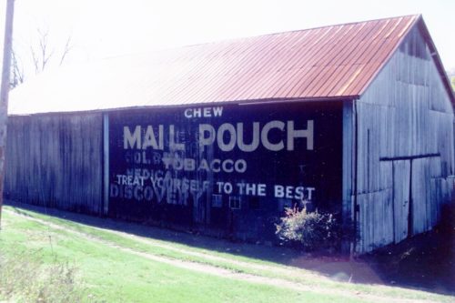
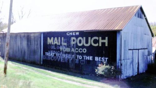
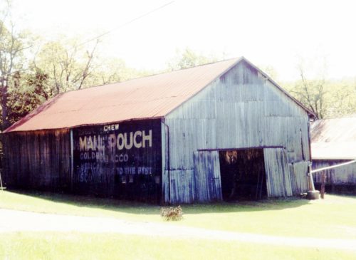
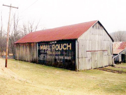
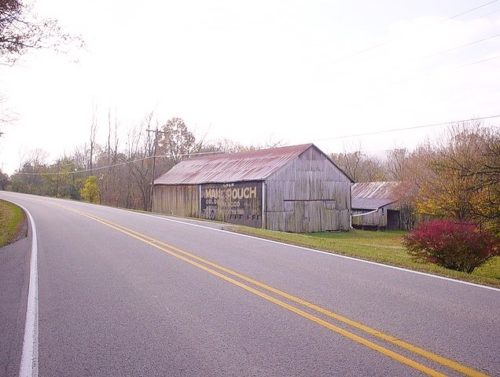
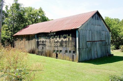
Photos 1 & 2 by Tom Plimpton (1983).
Photo 3 by Mark Comstock.
Photos 4 & 5 by Gyla Schnauffer (Sept. 2000).
Photo 6 by unknown (2001).
Photo 7 by Bill Eichelberger (Oct. 27, 2003).
Photo 8 by Earl Leatherberry (July 16, 2009).
Photo 9 by Earl Leatherberry (Nov. 29, 2009).
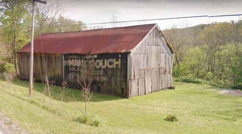
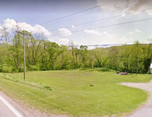
Photo 10 Google Earth street view (Apr. 2012).
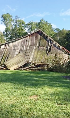
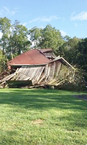
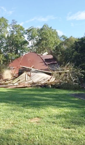
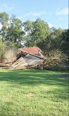
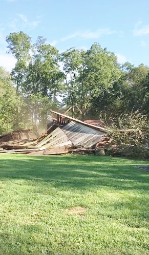
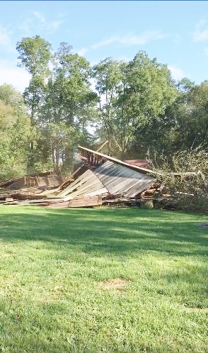
Photos 11-16 by Samantha Adkins (Summer 2016).
Photo 17 Google street view (Oct. 2021).
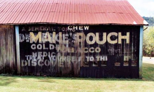
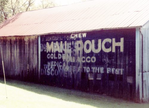
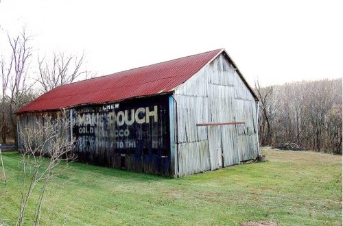
Where to find it *GONE (fallen & site cleared)* US Rt. 52 (Harrison Brookville Rd.), northwest of I-74 (exit 169) by about 5.9 miles. The barn was on the left side of the highway headed northwest. The MP sign faced northeast. One side. Black. faded.
