Sides Painted
1
Color
Black
Structure
Barn
Unique Characteristics
Gambrel Roof
Still Standing
No
Credits
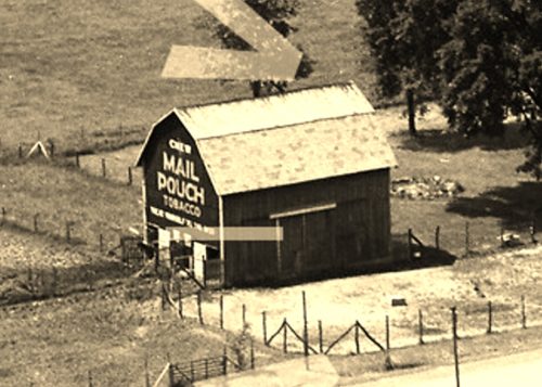
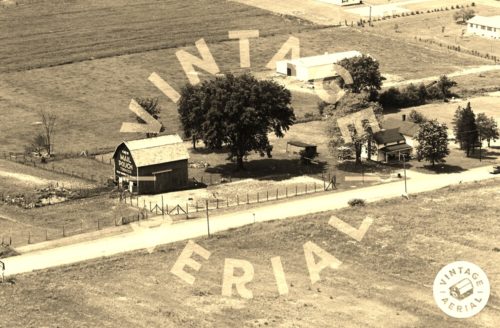
Photos 1 & 2 by unknown VA # 51-NPO-8 (1973) courtesy of Vintage Aerial
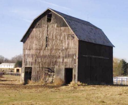
Photo 3 by unknown.
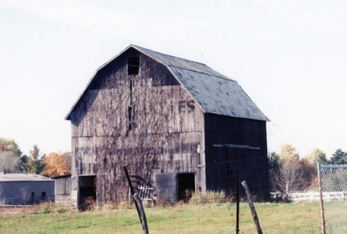
Photo 4 by Gyla Schnauffer (Oct. 2002).
Photo 5 Google street view (Nov. 2008).
Photo 6 USDA/FPAC/GEO image (Dec. 31, 2009).
Photo 7 USDA/FPAC/GEO image (Oct. 27, 2011).
Photo 8 Google satellite image.
Other Information
Photo 1 is an enlarged inset view from Photo 2.
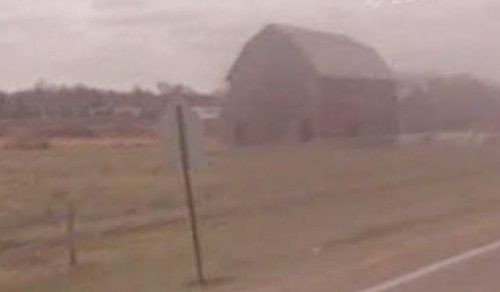
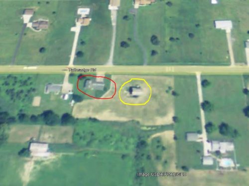
Photo 6 is a 2009 view showing the Mail Pouch barn (circled in yellow) was existing at that date: however, a Google street view (Photo 5 - Nov. 2008) the Mail Pouch sign had totally faded away. The existing house on the site is circled in red.
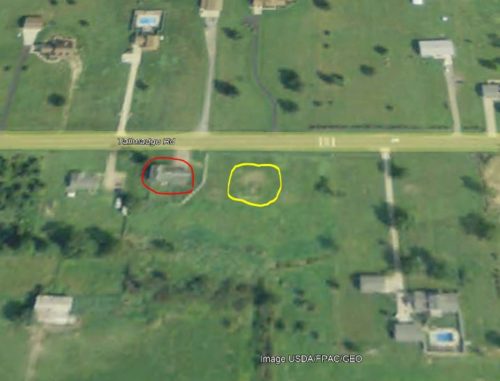
Photo 7 is a 2011 photo showing that the barn was gone by that date. The location of the barn is circled in yellow. The existing house is circled in red. /div>
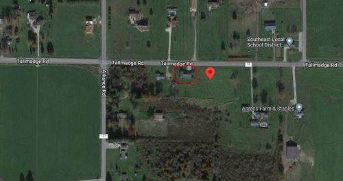
Photo 8 (Google satellite image) the location of the barn is noted by the red pin. The pin was used to determine the adddress and confirm the coordinates. The existing house is circled in red.
Where to find it
*GONE* (fallen & removed) Along the south side of Tallmadge Rd. (CR-18) west of OH-225, in Palmyra, by 2.3 miles. The barn was on the left side of the road headed west from Plamyra. The Mail Pouch sign faced east. One end. Black Background. The Melo-Crown sign was barely visible.
Address
8175 Tallmadge Rd (CR-18)
City
Ravenna
State
OH
Zipcode
44266
Country
USA
Latitude
N 41° 05.93'
Longitude
W -81° 05.76'
lat
41.09876711
lng
-81.0960655
