Other Information
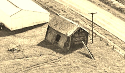
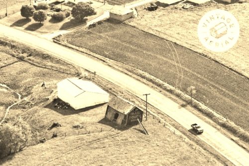
Photo 2 was provided by Vintage Aerial for a better view of the barn without the © wording interferring with the Mail Pouch sign on the end of the barn. Photo 1 is an enlarged inset view from Photo 2.
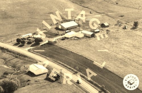
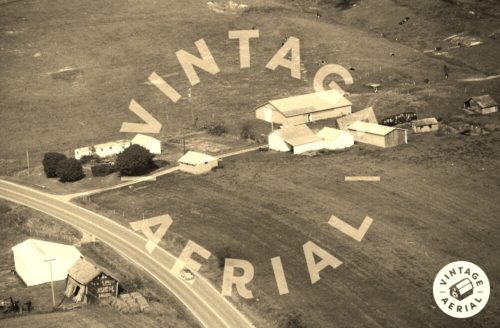
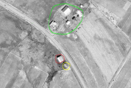
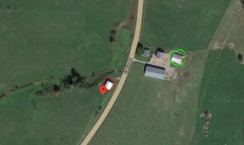
The Ohio Dept. of Transportation aerial photo archives were used to locate this barn. In Photo 4 the barn is circled in yellow. The larger barn is circled in red and still exists. The site across the highway as shown in Photo 3 is circled in Lime. The only building in the 1984 photo that still remains is the large barn to the center rear of the view. In Photo 5 (Google satellite image), the Mail Pouch barn location is noted by the red pin. This pin location was used to determine the address and the coordinates. The existing barn is circled in red and the only building across the highway that remains from the 1984 photo has been circled in Lime.
The is no clear view of the north end of the Mail Pouch barn. In the 1960 ODOT views the larger barn, circled in red, did not exist. The access to the Mail Pouch barn is at the side and due to the configuration of the barn it is almost certain there was a Mail Pouch sign on the north end of the barn.
Where to find it *GONE* (razed and removed) Along the west side of Cadiz Rd (US-22) northeast of I-77 by 11.5 miles. The barn was on the left side of the highway headed northeast. Mail Pouch sign on both ends of the barn. Black background.
