Other Information
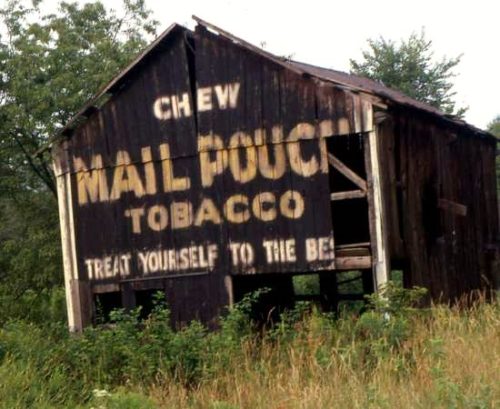
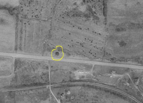
The location information for the barn from Tom Fritsch, was that the barn was along OH-39 west of Mechanicstown by about 0.8 mile. Using that information the Ohio of Dept. of Transportation aerial photo files were researched for that area. Photo 2 clearly shows the barn along the north side of OH-39, and as it turns out, exactly 0.8 miles west of Mechanicstown.
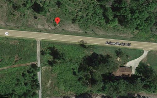
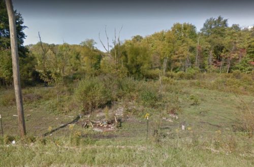
in Photo 3 the rubble of the barn is still visible. This is a pre-2020 satellite view and is provided since, in the more current satellite image, the ruble is no longer visible. Photo 4 is a Google street view (Oct. 2016) looking in at the site and the location can still be seen.
Where to find it *GONE* (fallen and removed) This barn was located along OH Rt. 39 (Salineville Rd. NE) west of the intersection with OH Rt. 524, in Mechanicstown, by 0.8 mile. The Mail Pouch sign was on the west end of the barn. One end. Black blackground.


