County
Sides Painted
1
Color
Black
Structure
Barn
Unique Characteristics
None
Still Standing
No
Credits
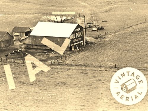
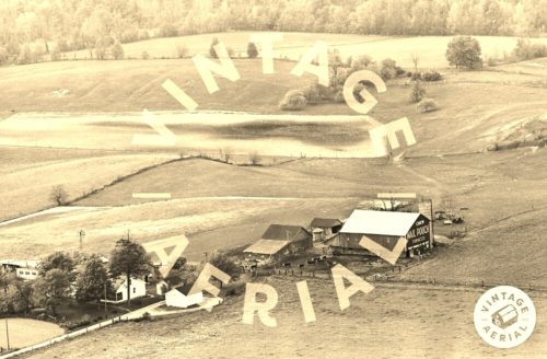
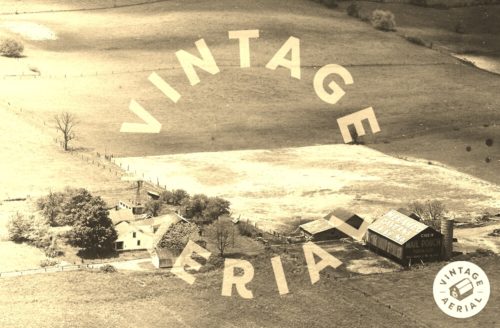
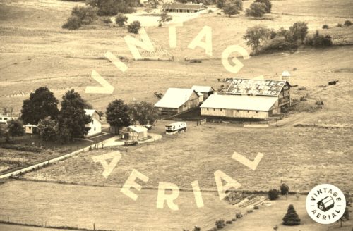
Photos 1 & 2 by unknown VA # 25-FNO-31 (1963) courtesy of Vintage Aerial
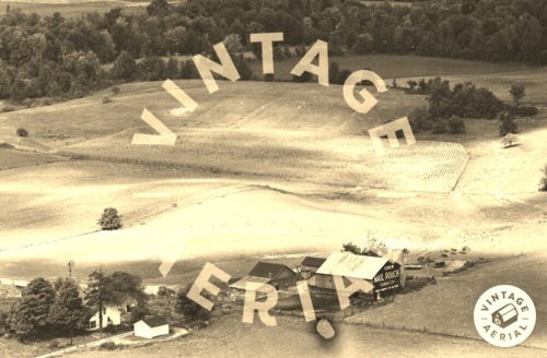
Photo 3 by unknown VA # 6-BNO-37 (1966) courtesy of Vintage Aerial
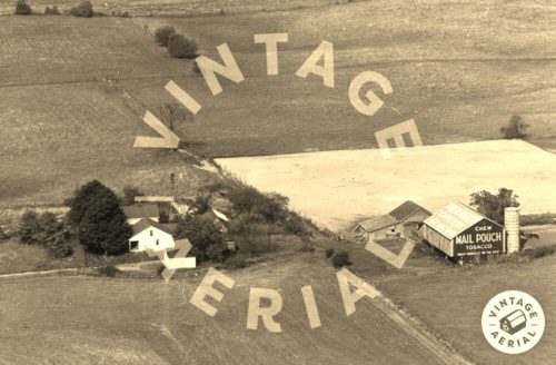
Photo 4 by unknown VA # 51-TNO-35 (1973) courtesy of Vintage Aerial
Photo 5 by unknown VA # 1A-TNO-7 (1973) courtesy of Vintage Aerial
Photo 6 by unknown VA # 16-BNO-7 (1980) courtesy of Vintage Aerial
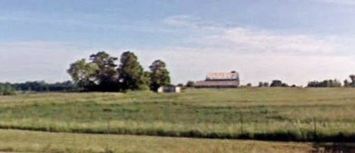
Photo 7 Google street view (June 2009).
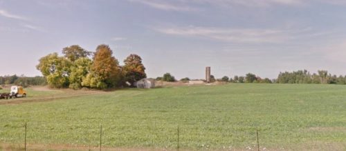
Photo 8 Google street view (Sept. 2013).
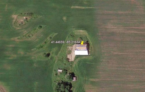
Photo 9 Google Earth Historic imagery (Oct. 4, 2011)
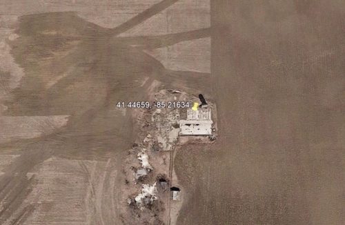
Photo 10 Google Earth Historic imagery (Mar. 29, 2014).
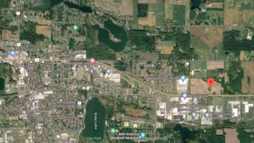
Photo 11 Google satellite imager.
Other Information
Photo 1 is an enlarged inset view from Photo 2.
Sometime after 1966 a Meramec Caverns sign was painted on the south facing roof.
In October 2011 (Photo 9) the barn was still existing; however, by March 2014 (Photo 10) the barn had been razed and removed. The silo was left stnding and remains in 2023.
Where to find it
*GONE* (razed and removed) Along the north side of E. North St. (US-6) east of IN-3 intersection, in Kendallville, by 3.0 miles. The barn was on the left side of E. North St (US-6) headed east out of Kendallville. The Mail Pouch sign faced east. One end. Black background.
Address
2709 E North St (US-6)
City
Kendallville
State
IN
Zipcode
46755
Country
USA
Latitude
N 41° 26.7954'
Longitude
W -85° 12.9804'
lat
41.44659
lng
-85.21634
