Other Information
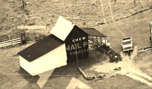
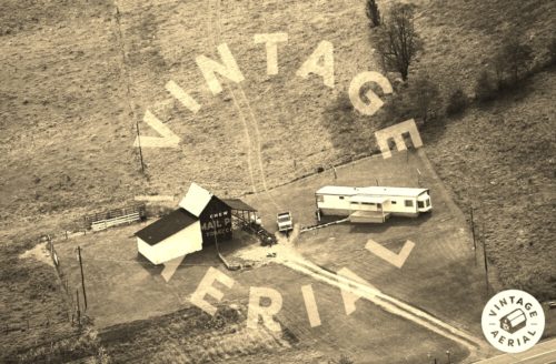
Photo 1 is an enlarged inset view from Photo 2.
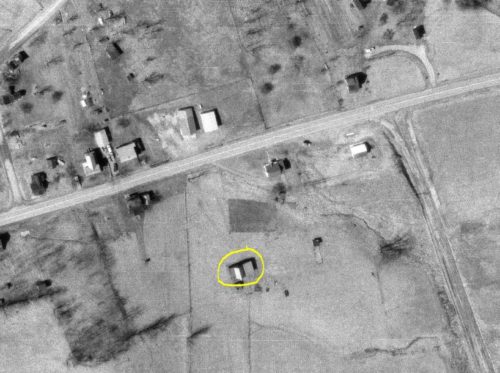
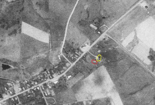
The Ohio Dept. of Transportation aerial photo archives were used to locate this barn.
Photo 3 is an ODOT photo dated Mar. 1972. Only the barn (circled in yellow) existsd in this photo. In Photo 2 it is apparent that the moblie home is relatively new (1975) and was added to the site after 1972.
Photo 4 an ODOT photo dated Apr. 1977 the barn (circled in yellow) and the mobile home (circled in red).
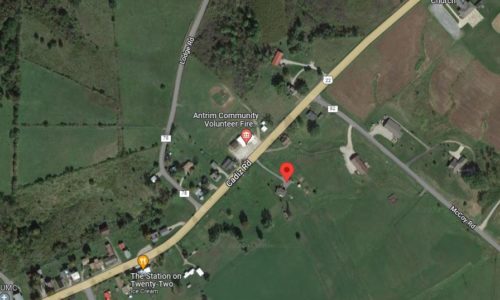
Photo 5 Google satellite image. The red pin on the map is the approximate location of where MPB 35-30-31 once stood. This pin was used to determine the address and coordinates of the barn.
Where to find it *GONE* (razed and removed) Along the southeast side of Cadiz Rd (US-22) just northeast of the intersection with OH-513, in Antrim by 0.2 mile. The barn was on the right side of the road headed northeast out of Antrim. The Mail Pouch sign faced northwest. One side. Black Background.
