MPS 14-05-02

Photo 1
Sides Painted
1
Color
Black
Structure
Brick Building
Unique Characteristics
None
Still Standing
No
Credits

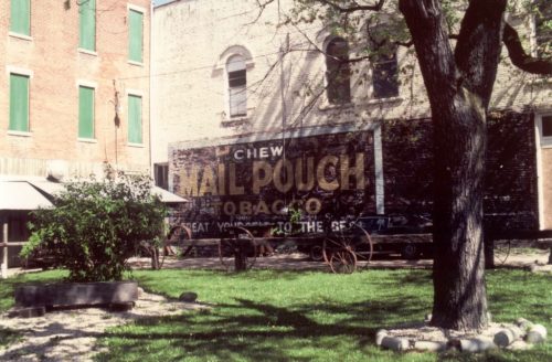
Photo 1 by Tom Plimpton (1985).

Photo 2 by unknown (2012).

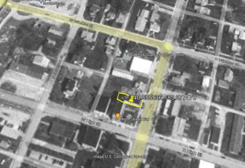
Photo 3 US Geological Survey satellite image (Apr. 5, 1998).

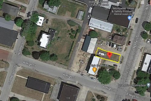
Photo 4 Google satellite image.
Other Information

The building is seen in Photo 3 and the outline of the building is noted in yellow. In Photo 4 the building is gone (it was gone by 2003); however, the outline of where it was located is noted in yellow. The red pin in Photo 4 was used to determine the address and the coordinates.

Photo 2 is a view from W. High St. looking at the building that used to abut the demolished building.
Where to find it

*GONE* (razed and removed) The building with MPS 14-05-02 used to front along N. Main St. northest of the W. High St. intersection by 110', in Montpelier. It was situated on the left side of the street headed northeast from W. High St. toward W. Windsor St. The Mail Pouch sign faced southwest. One side. Black background.

Address
117 N Main St
City
Montpelier
State
IN
Zipcode
47359
Country
USA
Latitude
N 40° 33.3322'
Longitude
N -85° 16.6482'
lat
40.555536
lng
-85.277470
  • Photo 2
  • Photo 3
  • Photo 4