Credits
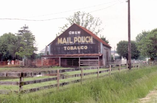
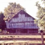
Photo 1 by Tom Plimpton (1984).
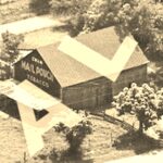
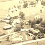
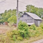
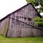
Photos 2 & 3 by unknown VA # 5-DSP-20 (1979) courtesy of
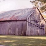
Vintage AerialPhotos 4, 7 & 8 by Lonnie Schnauffer (2000).
Photo 5 by unknown.
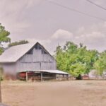
Photos 6 & 9 Google street view (July 2012).
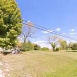
Photo 10 Google street view (Oct. 2023).
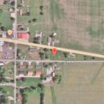
Photo 11 Google satellite image.
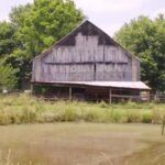
Where to find it *GONE* (razed and removed) Along the south side of IN-62 west of IN-162 intersection by 2.5 miles. The barn was on the left side of the highway headed west. The Mail P sign faced east. The Hillside tobacco sign faced west. Two ends. Black backgrounds.
