Other Information
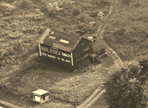
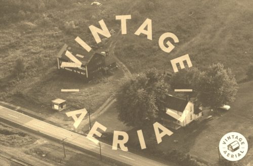
Photo 1 is an enlarged inset view from Photo 2.
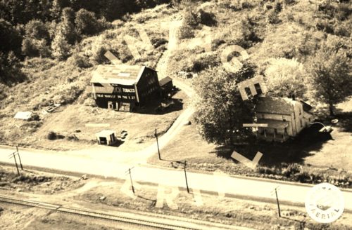
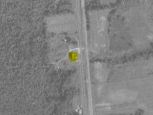
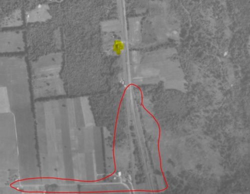
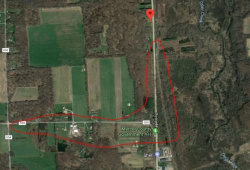
Used the Penn Pilot program to determine the location of where this barn once stood. Photos 4 & 5 both show the barn highlighted in yellow. In Photo 4 two features were circled in red to use to match up with the same features on Photo (Google satellite image). This is the only stretch where US Rt. 19 and the RR tracks run close enough to view both in photos 2 & 3. In Photos 4-6 as you go south on US Rt. 19 the RR tracks veer away to the east. In addition. C Rd. 555 (Magner Rd.) intersects with US Rt. 19 and extends to the west.
Photo 6 (Google satellite image) the red pin marks the location where the Mail Pouch barn once stood. The pin was used to determine the address and the coordinates.
Where to find it *GONE* (razed and removed) Along the west side of Perry Hwy. (US-19) north of the Franklin Rd. (US-62) intersection, in Mercer, by 3.6 miles. The barn was on the left side of the highway headed north from Mercer. 1 end and 1 side shown with Mail Pouch signs. Very possibly the south end was painted also since it presents well to the road. Black backgrounds.
