Credits
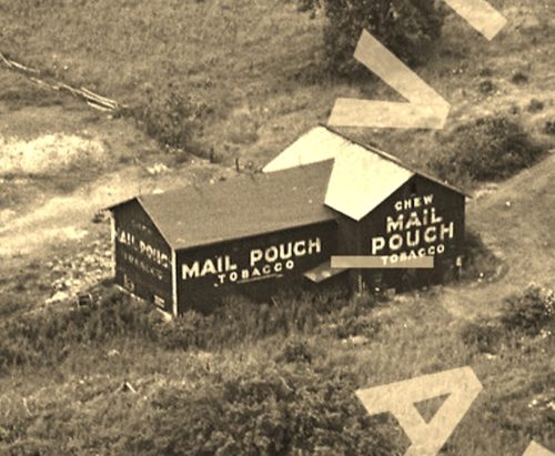
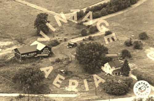
Photos 1 & 2 by unknown VA # 48-KME-28 (1965) courtesy of
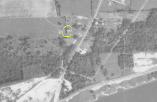
Vintage AerialPhoto 4 by unknown (1967-1972) courtesy of
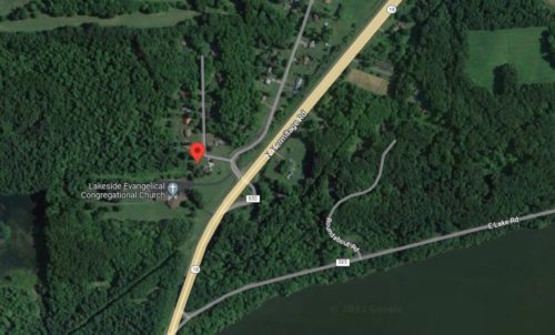
Penn PilotPhoto 5 Google satellite image.
Other Information
In photo 4 the barn is highlighted in yellow.
The scales in Photos 4 & 5 were set to approximately the same and the approximate location of the barn was determined measuring off of common reference points in each photo.
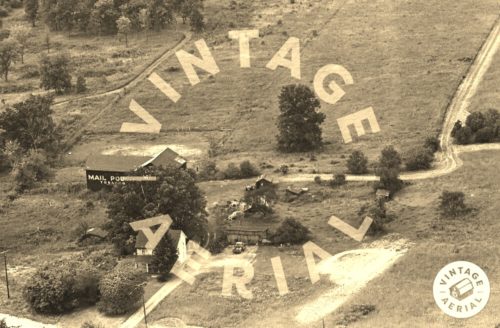
The buildings shown in Photos 2 & 3 have been raised and the site was cleared for new residential and religious construction.
Photo 5 (Google satellite image) the red pin marks the approximate location of where this barn once stood. This pin was used to determine the address and the coordinates.
Where to find it *GONE* (razed and removed) Along the northwest side of N. Hermitage Rd. (PA-18), north of the PA-18/PA-258 intersection, in Clark, by about 1.4 miles. The barn was on the left side of the highway headed northeast from Clark. 2 ends and 1 side painted. Black backgrounds.
