Credits
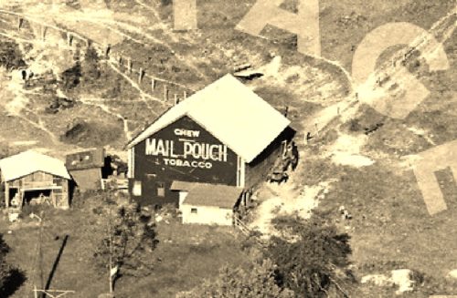
Photos 1 & 2 by unknown VA # 49-LFA-33 (1971) courtesy of
Vintage AerialPhotos 3 & 4 by Dave and Mary Ann Shaver (Sept. 6, 1986).
Photos 5 & 6 by Larry Zinn (Dec. 1989) (contributed by Butch Moon).
Photo 7 by Bill Plack (1990)
Photo 8 Bing Map's bird's eye view.
Photo 9 Google street view (Nov. 2015).
Where to find it *GONE (fallen)* PA Rt. 201 (Vanderbilt Rd.) southeast of PA Rt 819 (Dawson Rd.) intersection, in Vanderbilt. The barn is on the left side of the highway headed southeast. The MP sign faced southwest. One end. Original black background.


