Other Information
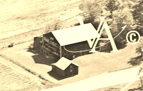
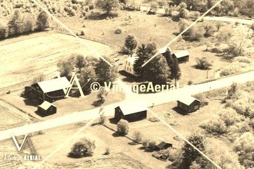
Photo 1 is an enlarged inset view from Photo 2.
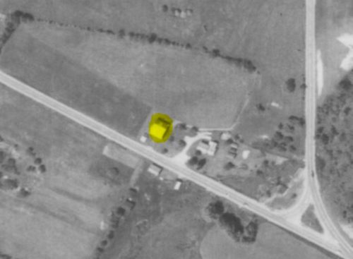
The Penn Pilot program was used to determine the approximate location of this barn.
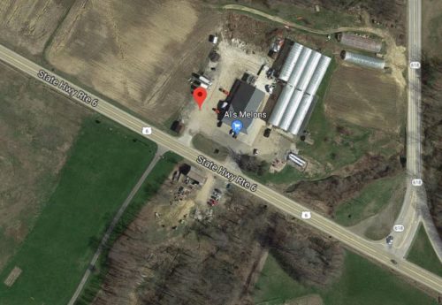
Photo 4 (Google satellite image) is provided to show the old barn across the highway from the Mail Pouch barn, and visible in Photos 2 & 3, was still existing as of the date of the Google satellite image (If this barn is razed, it may not be visible in future Google satellite views). In addition, the small building almost adjacent to the Mail Pouch barn is still existing in these views. The red pin was used to determine the address and the coordinates.
Where to find it *GONE (razed and removed)* Along the northeast side of US-6 northwest of the intersection with PA-618 (just west of Conneaut Lake), by 0.1 mile. The barn was on the right side of the highway headed northwest from Conneaut Lake. The Mail Pouch sign faced northwest. One end. Black Background.


