Other Information
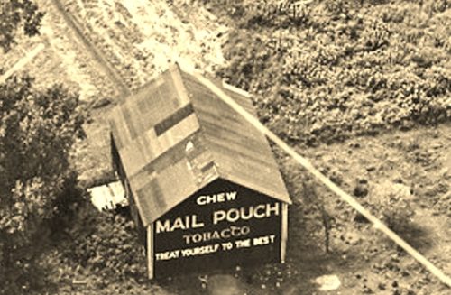
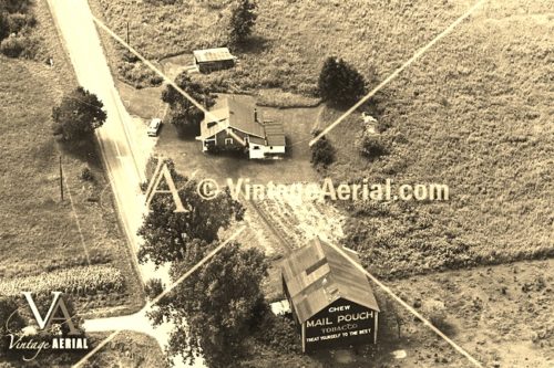
Photo 1 is an enlarged inset view from Photo 2.
The
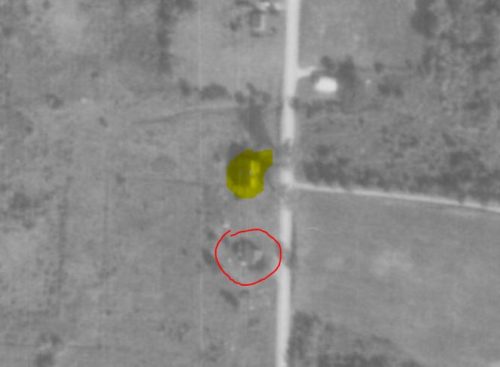
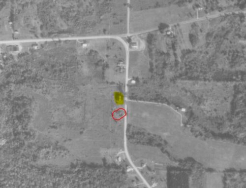
Penn Pilot program was used to locate where the Mail Pouch barn once stood.
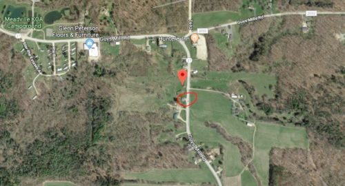
Photos 3 & 4 show the barn highlighted in yellow. The house in photo 2 is circled in red in photos 3 & 4 and also on the Google satellite image (Photo 5).
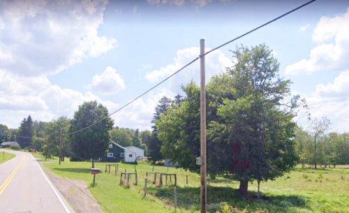
Photo 6 (Google street view - Aug. 2019) clearly shows that the house, in photo 2, was still existing in 2019.
In Photo 5 (Google satellite image) the red pin marks the location where the barn once stood. This pin was used to determine the address and the coordinates.
Where to find it *GONE (razed and removed)* Along the west side of PA-27 (Guys Mill Rd.) east of the intersection with Thurston Rd., in Meadville, by 5.4 miles. The barn was on the right side of the highway headed east from Meadville. Photos 1 & 2 show one end with Mail Pouch sign; however, due to the orientation of the barn to the road, there may have been a Mail Pouch sign on both ends. Black background.
