Other Information
Lonnie Schnauffer reported, in 2005, that this barn had been torn down.
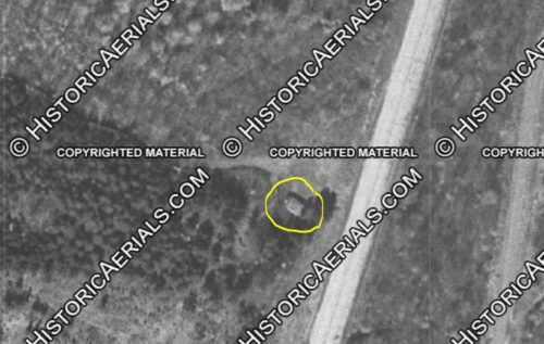
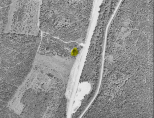
Photos 5 & 6 Historic aerial images from Pennsylvania Dept. of Transportation (Penn Pilot) and from Historic Aerials were used to locate this barn. The Penn Pilot photos in 1958 and 1967 show the location was void of any structures, during that period. A check further north along PA Rt. 8 located the barn along the left side of the road headed north. The 1958 Penn Pilot photo (Photo 6) is included with the barn highlighted in yellow. In the 1967 photo the tree foliage was too thick to get a view of the barn. The original location information, on Gyla Schnauffer's photo stated, just north of the intersection with Larchwood Rd. As noted the location of the barn in the Penn Pilot photo is 0.5 mile north of this intersection.
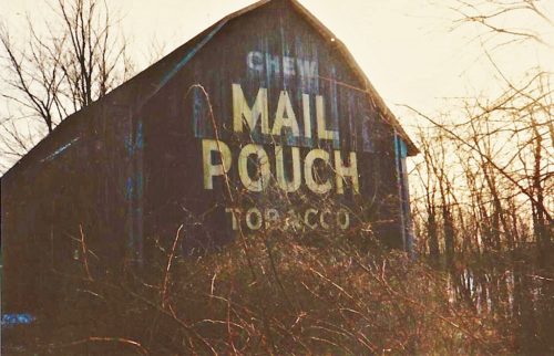
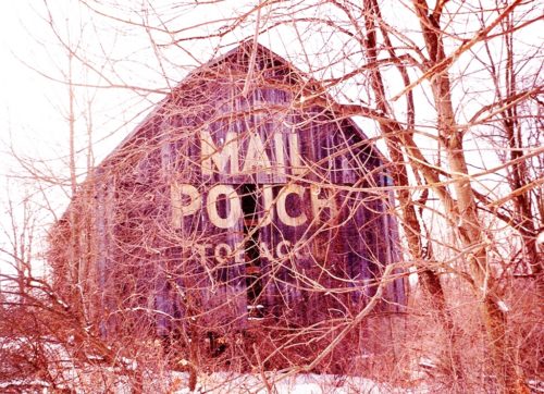
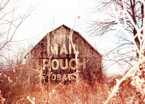
Photos 1-3 are views of the north end of the barn.
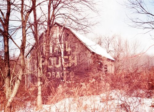
Photo 4 is a view of the south end of the barn.
Where to find it *GONE* Along the northwest side of Pittsburgh Rd. (PA-8), 0.5 mile north of the intersection with Larchwood Dr., and 6.6 miles north of the intersection with PA-228 (Glade Mill Rd.). The barn was on the left side of the highway headed north. Two ends. Black backgrounds.
