Other Information
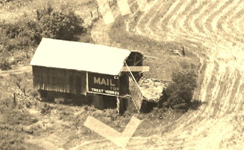
Photo 1 is an enlarged inset view from Photo 2.
Photo 3 the Mail Pouch barn is circled in yellow. Note that in 1955 the northeast end of the barn had not fallen away.
The red pin location was determined using a measurement tool provided with a Historic Aerial imaging program which provided the decimal coordinates for the center of the barn. The decimal coordinates were entered into the Google map program and the pin location in Photo 4 is the center of where the Mail Pouch barn once stood. This pin was used to determine the address and the location details.
Where to find it *GONE* Along the northwest side of Akron Rd. (OH-585) northeast of the intersection with OH-57. The barn was on the left side of Akron Rd headed northeast from OH-57. The Mail Pouch sign faced east. One side. Black background.


