County
Sides Painted
1
Color
Black
Structure
Barn
Unique Characteristics
None
Still Standing
No
Credits
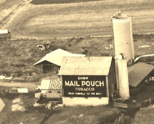
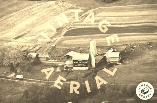
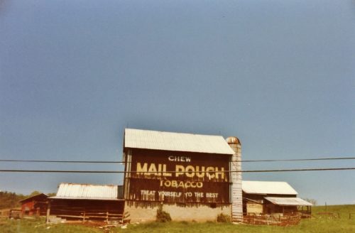
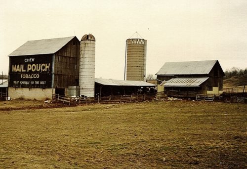
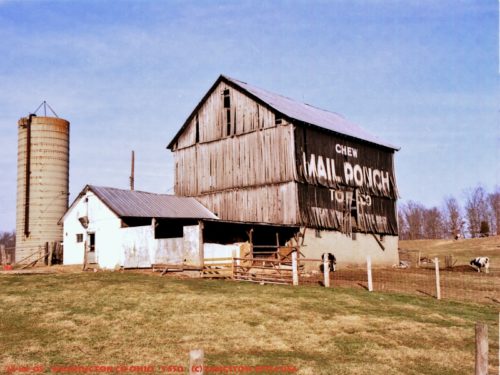
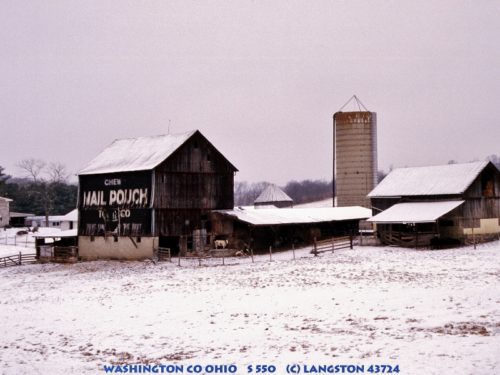
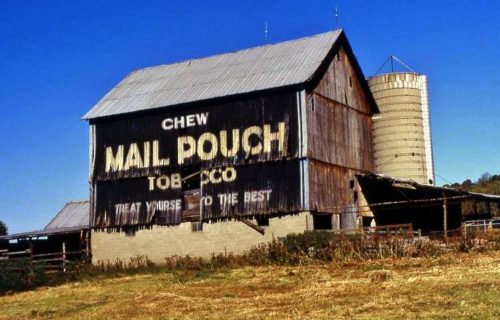
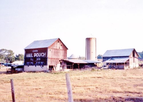
Photos 1 & 2 by unknown VA # 23-FWAS-10 (1977) courtesy of Vintage Aerial
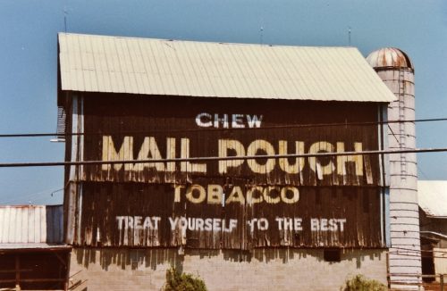
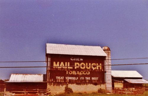
Photos 3-5 by Larry Zinn (May 15, 1988 - contributed by Butch Moon).
Photo 6 by Dave and Mary Ann shaver (Feb. 14, 1987).
Photo 7 by unknown.
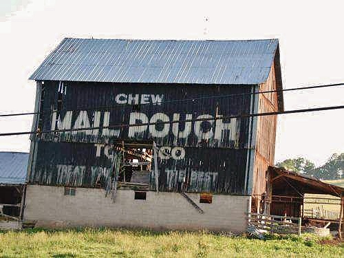
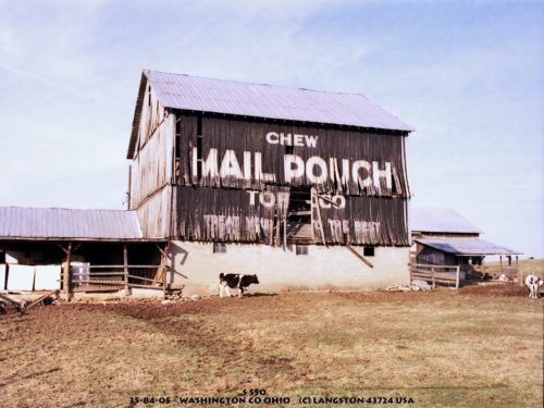
Photos 8-10 by Jim Langston (ca. 1990's).
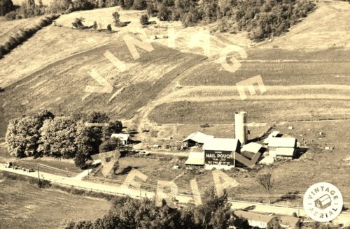
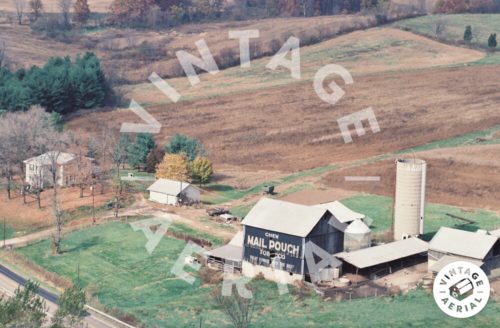
Photo 11 by unknown VA # 30-IWA-28 (1993) courtesy of Vintage Aaerial
Photo 12 by unknown VA # 59-WA-18 (1993) courtesy of Vintage Aerial
Photo 13 by Tom Fritsch (1994).
Photo 14 by Lonnie Schnauffer (Aug. 1999).
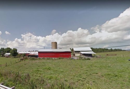
photo 15 Google street view (Aug. 2016).
Other Information
photo 1 is an enlarged inset view from Photo 2.
A new barn has been built on the foundation of the original barn shown in these photos.
Where to find it
*GONE (razed and removed)* OH Rt. 550 west of OH Rt. 339, in Barlow, by about 0.5 mile. The barn was on the right side of the highway headed west. The MP sign faced south. One side. Black.
Address
9647 OH-550
City
Vincent
State
OH
Zipcode
45784
Country
USA
Latitude
N 39° 24.09'
Longitude
W -81° 40.86'
lat
39.40172688
lng
-81.68154
