Other Information
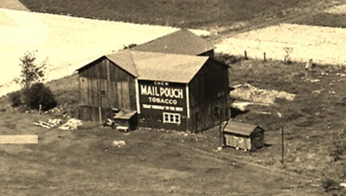
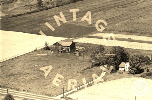
Photo 1 is an enlarged inset view from Photo 2.
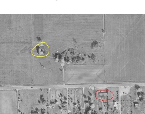
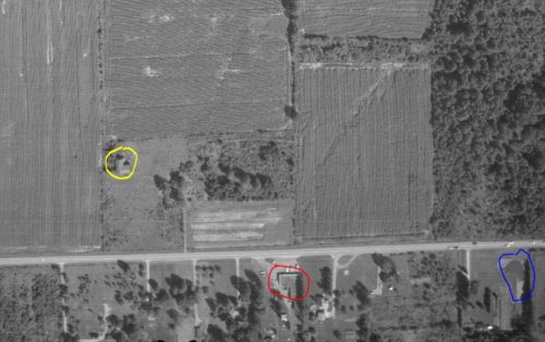
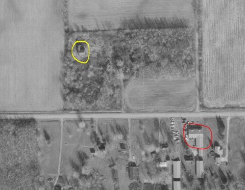
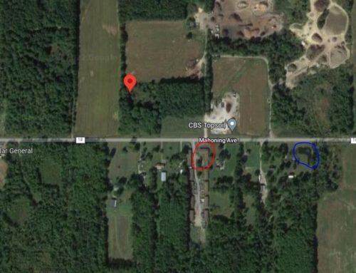
In Photos 5-7 the barn is circled in yellow and a building ( still existing) across the avenue is circled in red for location coordination using Photo 8 (Google satellite image).
In Photo 6 a pond, which is still existing is circled in blue for location coordination using Photo 8 (Google satellite image).
Photo 8 (Google satellite image) the location of the barn is indicated by the red pin. The existing building loacation is circled in red and the existing pond location is circled in blue for coordination with photos 5-7.
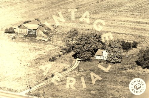
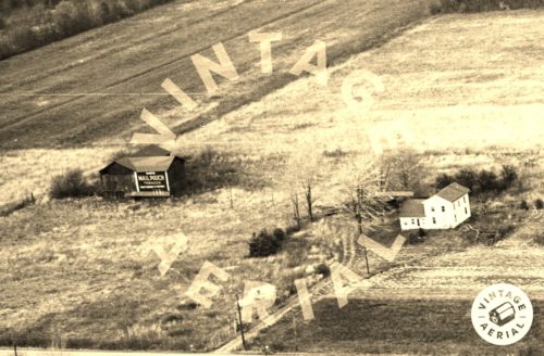
Photo 7 is a Nov. 1991 photo showing the the barn was still existing at that date. The houses on the site and in Photos 2-4 have been razed and removed. It is not known if the Mail Pouch sign was still existing by that date or if it may have faded away by then. The trees between the barn and Mahoning Ave would have made it very difficult to see the barn from the road.
Where to find it *GONE* (razed and removed) Along the north side of Mahoning Ave west of the intersection wtih OH-46 (Canfield Niles Rd) in Austintown by 9.4 miles. The barn was on the right side of Mahoning Avenue headed west. The Mail Pouch sign faced south. Black background.
