Credits
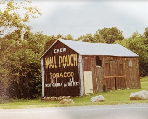
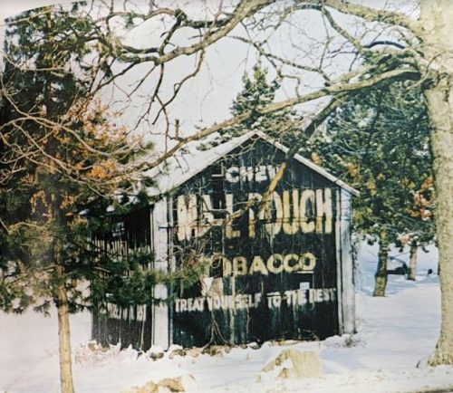
Photos 1 & 2 by Larry Atkins (1993 - contributed by Roger Warrick).
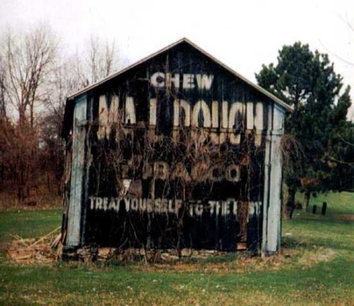
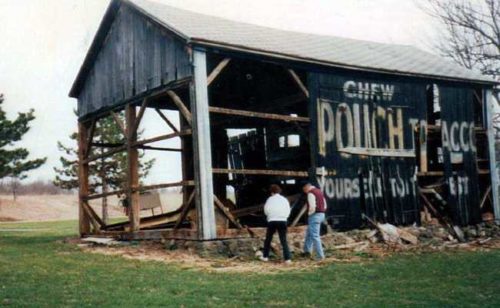
Photos 3 & 4 by Sherry Gillett Binkowski.
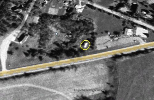
Photo 5 US Geological Survey satellite image (Apr. 22, 1998).
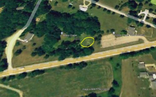
Photo 6 USDA/FPAC/GEO satellite image (May 31, 2005).
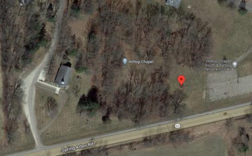
Photo 7 Google satllite image.
Other Information
Barn location confirmed by Sherry Gillett Binkowski.
Photo 5 the barn is circled in yellow.
Photo 6 the site where the barn was located is circled in yellow. Photo date May 2005.
Photo 7 (Google satellite image) the location of the barn is noted by the red pin which is centered on some remaining barn rubble. The pin was used to determine the address and the coordinates.
Where to find it *GONE (fallen & removed)* Along the north side of Spring Arbor Rd (MI-60) east of N Main St interection, in Concord, by 2.1 miles. The barn was on the left side of the highway headed east from Concord. Mail Pouch sign on the west side and Mail Pough sign on the south end. Black Backgrounds.
