Credits
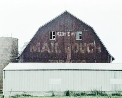
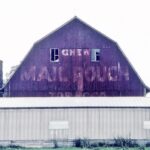
Photos 1 & 2 by Tom Plimpton (1988).
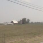
Photo 3 Google street view (Aug. 2007).
Photo 4 Google street view (Aug. 2023).
Photo 5 Indiana Map Framework Data (Feb. 28, 2005).
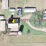
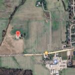
Photo 6 Google satellite image.
Other Information
The barn and, silo and white building in the foreground are all clearly shown in Historic Aerial's imagery. The distance measurment tool was used to obtain the decimal coordinates for the barn. The coordinates were input to the Google map program and the red pin on Photo 6 is the location where the barn was once locted.
Photo 5 is an Indiana Map Framework Data satellite image clearly showing the barn, silo and whitebuilding as noted in Photos 1 & 2.
Reference Google street view (2007), the barn was still existing; however, by July 2009 the Google street views show that the barn, silo and white building had all been razed and removed.
Where to find it *GONE* (razed and removed) Along the north side of IN-56 west of the N. Main Cross St. intersection, in Hanover, by 1.1 miles. The barn was on the right side of I-56 headed west out of Hanover. The Mail Pouch sign faced wesdt. One end. Black background.
