County
Sides Painted
1
Color
Black
Structure
Barn
Unique Characteristics
None
Still Standing
No
Credits
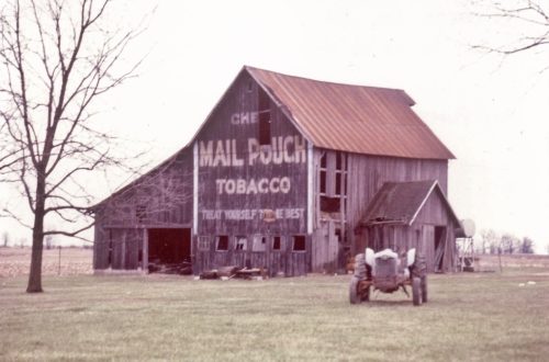
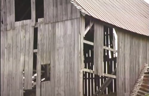
Photo 1 by Tom Plimpton (1982).
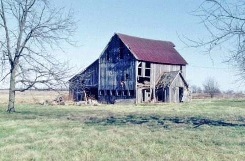
Photo 2 by Tom Plimpton (1993).
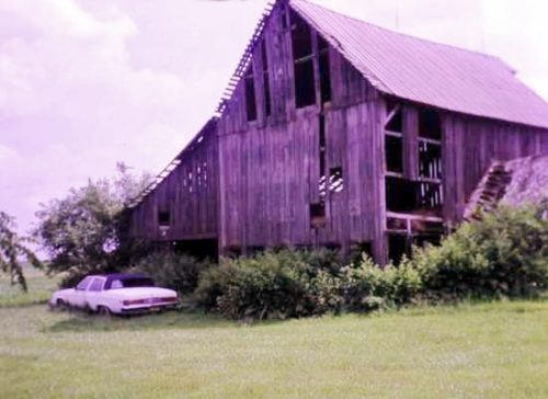
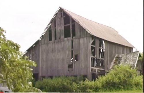
Photo 3-5 by Tom Plimpton (1999).
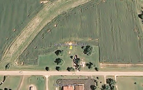
Photo 6 USDA/PAC/GEO satellite image (June 18, 2008).
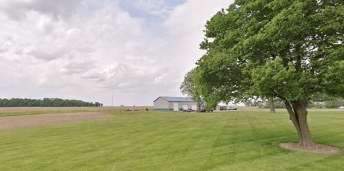
Photo 7 Google street view (May 2023).
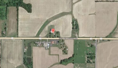
Photo 8 Google satellite image.
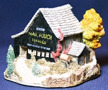
Photo 9 Ray Day Lilliput Miniature.
Other Information
The barn is clearly visible in Historic Aerials' imagery (1969). The distance measurement tool was used to obtain the decimal Coordinates of the barn. The coordinates were input to the Google map program and the red pin on Photo 8 is the exact location where the barn once stood.
Photo 6 is a satellite image showing that the barn was gone by June 2008.
Photo 7 is a view from US-36 looking in at the site toward where the barn once stood.
The barn was selected by artist Ray Day for inclusion in his Lilliput American Landmarks Collection and was item # 532 (Photo 9). The miniature was released in October 1989 and retired in September 1993.
Where to find it
*GONE* (fallen and removed) Along the north side of US-36 (Ernie Pyle Memorial Hwy.) west of IN-75 (N. Co. Rd. 700 W), in New Winchester, by 1.1 mile. The barn was on the right side of the highway headed west. The Mail Pouch sign faced west. One end. Black background.
Address
8038 Ernie Pyle Memorial Hwy (US-36)
City
Danville
State
IN
Zipcode
46121
Country
USA
Latitude
N 39° 45.68'
Longitude
W -86° 40.23'
lat
39.761313
lng
-86.670531
