MPB 14-31-09

Photo 1
Sides Painted
1
Color
Red
Structure
Barn
Unique Characteristics
None
Still Standing
No
Credits

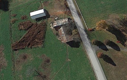
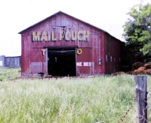
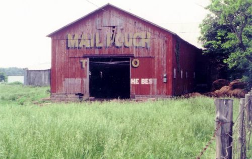
Photos 1 & 2 by Tom Plimpton (1984).

Photo 3 Google Earth Pro satellite image (Nov. 6, 2013).

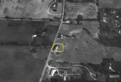
Photo 4 US Geological Survey satellite image (Mar. 23, 1998).

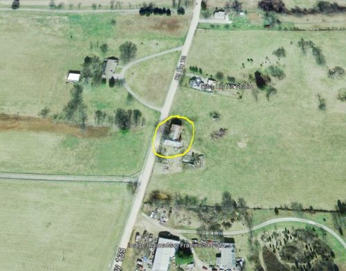
Photo 5 Indianamap Framework Data image (Mar. 28, 2005).

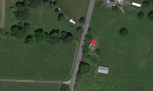
Photo 6 Google satellite image.
Other Information

Tom Plimpton's original location information was that the barn was along old IN-135 south of Corydon by about 1.0 mniles.

Photo 3 has been rotated 90° to allow for coordination with Photos 1 & 2.

Photo 5 Google satellite image the red pin is centered on the remaining barn rubble. Date of the image is 2020-2022. The red pin was used to determine the address and the coordinates.
Where to find it

*GONE* (fallen - rubble remains) Along the east side of Old IN-135 south of IN-337 intersection, in Corydon, by 0.8 mile. The barn rubble is along the left side of the highway headed south from Corydon. The Mail Pouch sign faced north. One end. Red Background.
Address
370 old hwy 135
City
Corydon
State
IN
Zipcode
47112
Country
USA
Latitude
N 38° 11.7436'
Longitude
W -86° 07.8506'
lat
38.195726
lng
-86.130844
  • Photo 2
  • Photo 3
  • Photo 4
  • Photo 5
  • Photo 6