County
Sides Painted
1
Color
Red
Structure
Barn
Unique Characteristics
None
Still Standing
No
Credits
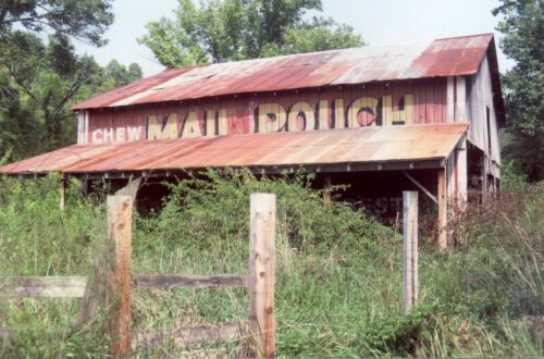
Photo 1 by Tom Plimpton (1989).
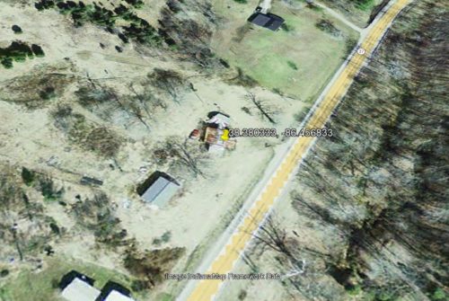
photo 2 Image IndianaMap Framework Data (Feb. 28, 2005).
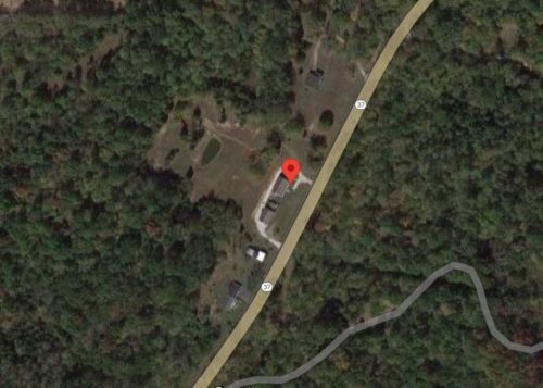
Photo 3 Google satellite image.
Other Information
Photo 2 is a satellite image showing the fallen barn.
Where to find it
*Gone* (fallen and removed) Along the northwest side of IN-37 north of IN-64 intersection, in English, by 2.9 mile. (south of the Orange Co. line by 1.2 mile). The barn was on the left side of the highway headed north from IN-64. The Mail Pouch sign faced east. One side. Red background.
Address
3015 IN-37
City
English
State
IN
Zipcode
47118
Country
USA
Latitude
N 38° 22.82'
Longitude
W -86° 27.41'
lat
38.38035986
lng
-86.45686354


