MPB 14-10-01

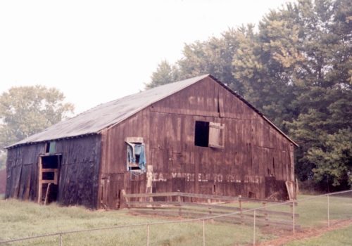
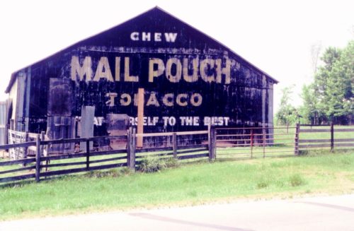
Photo 1
Sides Painted
1
Color
Black
Structure
Barn
Unique Characteristics
None
Still Standing
No
Credits

Photo 1 by Tom Plimpton (1987).

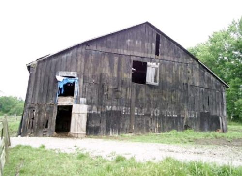
Photos 2 & 3 by unknown.

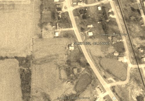
Photo 4 U.S. Geological Survey satellite image (Mar. 23, 1992).

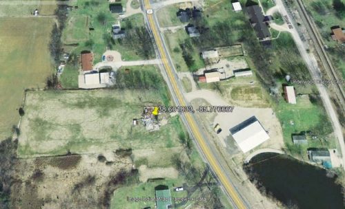
Photo 5 Image IndianaMap Framework Data (Feb. 28, 2005).

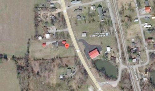
Photo 6 Google satellite image.
Other Information

Photo 4 view shows the barn still standing.

Photo 5 shows that the barn has fallen. Marker for coordinates located on the barn rubble.

Photo 6 (Google satellite image) The red pin marks the location of the barn. The pin was used to determine the address and the coordinates.
Where to find it

*GONE* (fallen and removed) Along the west side of US-31 south of IN-356 (W. Leota Rd.) intersection, in Vienna, by 3.3 miles. The barn was on the right side of the highway headed south from Vienna. The Mail Pouch sign faced east. One end. Black background.
Address
22811 US-31 S
City
Underwood
State
IN
Zipcode
47177
Country
USA
Latitude
N 38° 36.11'
Longitude
W -85° 46.60'
lat
38.60183346
lng
-85.7767023
  • Photo 2
  • Photo 3
  • Photo 4
  • Photo 5
  • Photo 6