MPB 14-09-02

Photo 1
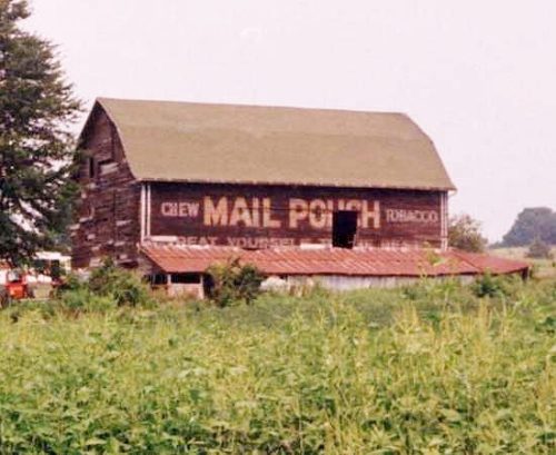
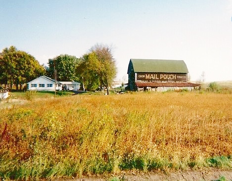
Sides Painted
2
Color
Black
Structure
Barn
Unique Characteristics
None, Gambrel Roof
Still Standing
No
Credits

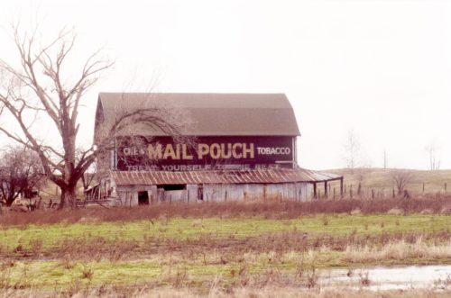
Photo1 by Tom Plimpton (1983).

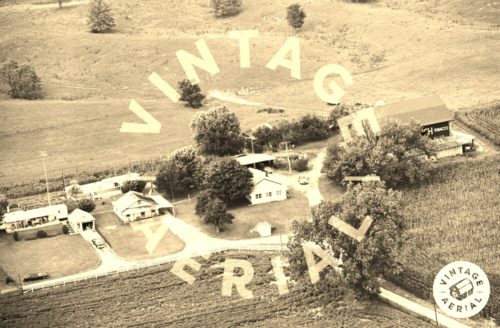
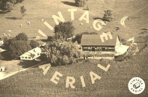
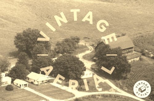
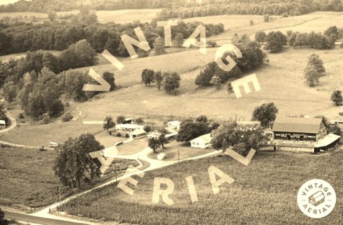
Photo 2 by unknown VA # 102-DCA-29 (1979) courtesy of Vintage Aerial

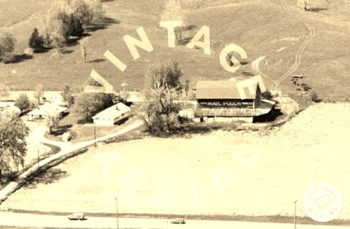
Photo 3 by unknown VA # 102-DCA-30 (1979) courtesy of Vintage Aerial

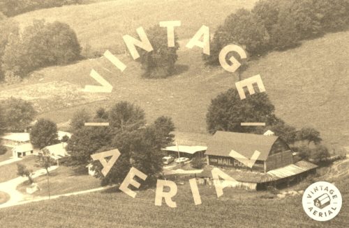
Photo 4 by unknown VA # 51-JCA-11 (1981) courtesy of Vintage Aerial

Photo 5 by unknown VA # 31-NCS-20 (1984) courtesy of Vintage Aerial

Photo 6 by unknown VA # 7-RCA-7 (1990) courtesy of Vintage Aerial

Photo 7 by unknown VA # 7-RCA-10 (1990) courtesy of Vintage Aerial

Photo 8 by Barbara Rust Brown (1994)

Photo 9 by unknown (ca. 1990-95).

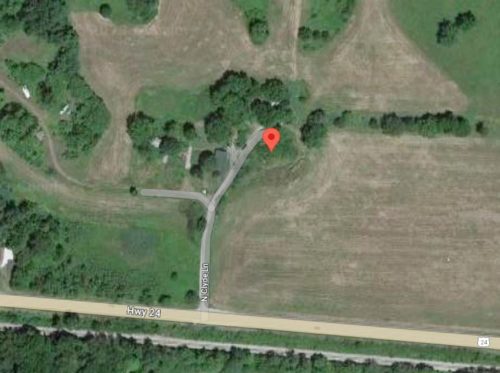
Photo 10 Google satellite image.
Other Information

Historic Aerials' imagery (1983) was used to confirm the location of this barn.

Photo 10 (Google satellite image) the red pin is on the remaining foundation, in the brush. The pin was used to determine the coordinates.
Where to find it

*GONE* Along the north side of US-24 west of Loganport. The farm site was located off of US-24 accessed by N. Clyde Ln. The N. Clyde Ln. intersection with US-24 is west of the US-35 intersection (west of Logansport) by 2.8 miles. Mail Pouch sign on the south side; and, Mai Pouch sign on the east end. Black backgrounds.
Address
269 N Clyde Ln
City
Logansport
State
IN
Zipcode
46947
Country
USA
Latitude
N 40° 45.7233'
Longitude
W -86° 27.2065'
lat
40.762055
lng
-86.453441
  • Photo 2
  • Photo 3
  • Photo 4
  • Photo 5
  • Photo 6
  • Photo 7
  • Photo 8
  • Photo 9
  • Photo 10