Credits
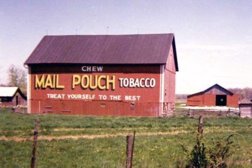
Photo 1 by Myron Huffman (1971).
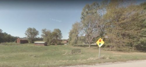
Photo 3 Google street view (Sept. 2008).
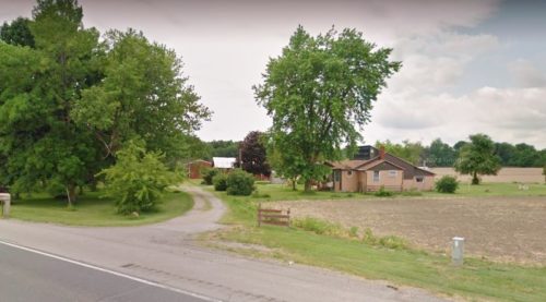
Photo 4 Google street view (June 2011).
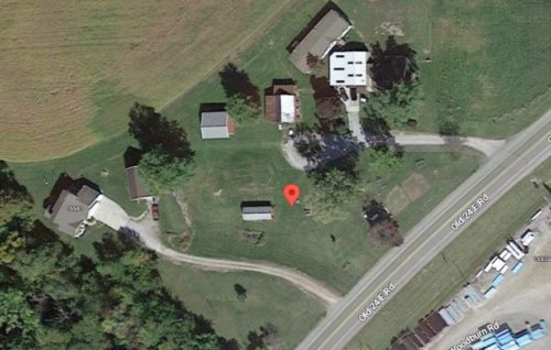
Photo 5 Google satellite image.
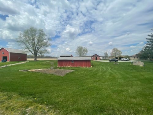
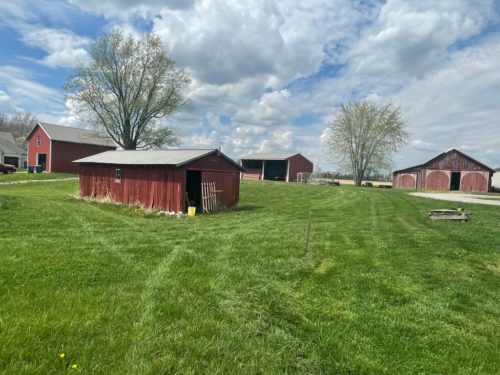
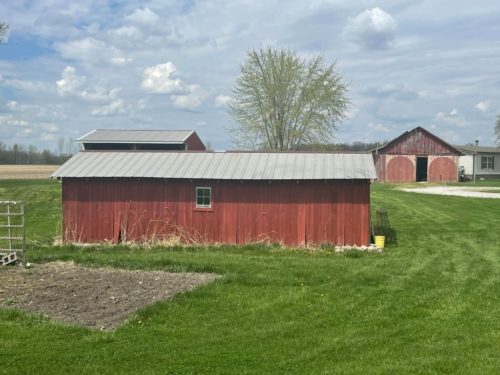
Photos 6-8 by Jill Curnutt-Howerton (Apr. 15, 2023).
Other Information
Photo 1 is Photo #8 from the Myron Huffman Collection.
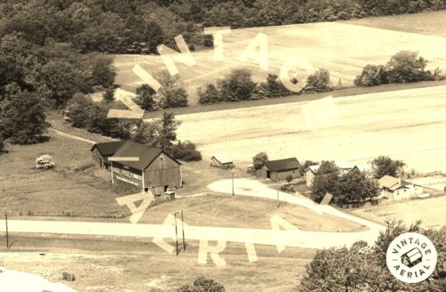
Historic Aerials' imagery (1962) was used to help locate this barn. The barn is clearly shown in the imagery and the decimal coordinates were obtained for final determination of the exact location.
Photo 3 2008 Google street view is looking onto the site from Old 24 E Rd. The barn was located toward the center of the view in the approximate location of the small barn.
Photo 4 is a 2011 Google street view looking onto the site at the end of the house which is clearly visible in Photo 2 at the right of the view.
Photo 5 (Google satellite image) the location of where the Mail Pouch barn was located is noted by the red pin. The pin was used to deteremine the address and the coordinates.
Photos 6 & 7 looking in at the site where the barn once stood. Jill met the owner of this site during her trip and he told her that the red shed (Photos 6-8) was built using lumber from the old Mail Pouch barn.
Where to find it *GONE* (razed and removed) Along the northwest side of Old 24 E Rd. southwest of the intersection with IN-101 by 4.7 miles. The barn was on the right side of the road headed southwest from IN-101. The Mail Pouch sign faced south. One side. Red background.
