Fifth Ave. between 10th St. & 11th St., in New Kensington. The brick building is on the right side of 5th Ave. headed north. The BD sign faces north and was not visible until the old adjacent Montgomery Ward building was razed and removed. One side. Brick building. Greatly faded.
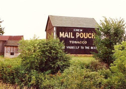
*GONE* (razed and removed) PA Rt. 66 (Sheridan Rd.) north of US Rt. 22 (William Penn Hwy.) by about 1.6 miles. Just before Noca Ct. intersection, in Delmont. The barn was on the left side of the highway headed north. The MP sign faced northeast. One side. Black.
Boxcartown Road, in Jeanette, just north of Hyland Road. South of US-22 by about 3 miles and east of I-76 by about 1 mile. One end. White background.
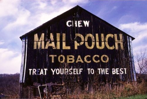
*GONE* (razed and removed) PA Rt. 66 (Sheridan Rd.) south of Amos K. Hutchinson By-Pass (exit 12) by about 2.3 miles. The barn was on the right side of the highway headed south. The MP sign faced south. One end. Black.
*GONE (razed and removed)* PA Rt. 711 (Ligonier St.) northeast of US Rt. 30 (Lincoln Hwy.) intersection, in Ligonier by about 12.2 miles. Just past the Ross Mountain Park Rd. (SR 1007) intersection. The barn was on the right side of the highway headed northeast. The MP sign faced northeast. One end. Black.
*GONE (razed and removed)* PA Rt. 711 (Ligonier St.) northeast of US Rt. 30 (Lincoln Hwy.) intersection, in Ligonier, by about 7.8 miles. The barn site o=is on the left side of the highway headed northeast. The MP sign faces northeast. One end. Black.
*GONE (painted over)* PA Turnpike (I-76) east of New Stanton exit by 6.7 miles. Farm is located on Brush Creek Road. Mail Pouch sign faced southwest. One end. Red background.
*GONE* (razed and removed) West of Greensburg on PA Rt. 136 just past the south bound on-ramp for toll road PA Rt. 66, by about 400'. The barn was on the left side of the highway headed west from Greensburg. The Mail Pouch sign faced east. One end. Black background.
*GONE* (sided over and painted) PA Rt. 136 west of PA Rt. 66 (Amos K Hutchinson By Pass) by about 1.0 mile. The barn is on the left side of the highway headed west, just before Wiingham Rd. The Mail Pouch sign faced west. One end. Original Black background.
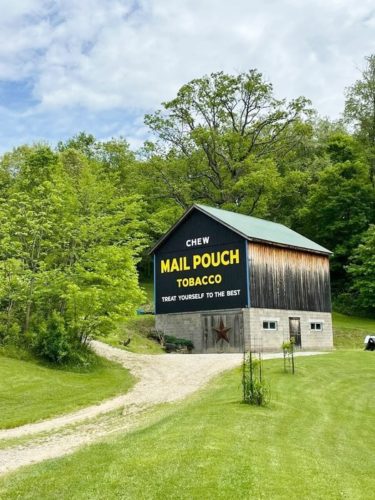
Arona Rd. southeast of PA-136, in Arona, by about 1.1 milers. The barn is on the left side of the road headed southeast. The Mail Pouch sign faces southeast. Visible from west bound lane of PA Turnpike (I-76) at mile marker 71.7. One end. Black background. Restored in 2021.
Along Ruffsdale Alverton Rd. (PA-117), south of PA-31 (Mt. Pleasant Road) in Ruffs Dale, by about 0.8 miles. On right side while headed south. One end. Black background. Greatly faded.
*GONE* (razed and removed) Along the east side of old state rte. 66 south of the Sheridan Rd. (PA-66B) intesection by 1.2 miles. The barn was on the left side of Sheridan Rd. headed south from the intersection. The Mail Pouch sign faced northwest. One side. Black background.
*GONE* (razed and removed) Along the southeast side of PA-130, west of PA-981 (Pleasant Unity Rd.) intersection, in Pleasant Unity, by 1.3 miles. Two ends. Northeast end - Red. Southwest end - Black.
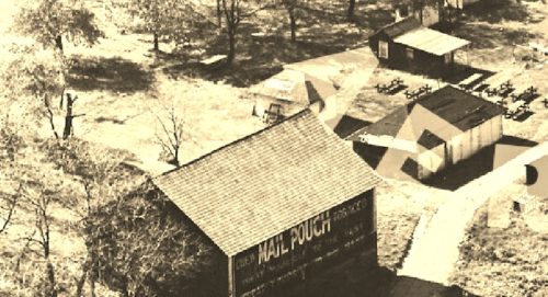
PA-130, 1 mile west of PA-711 in Stahlstown, at a small private lake called Lake Phyllis. One end. Black background.
*Probably gone* Westmoreland county is only location information for this barn. One end. Red.
*GONE* Along PA. Rt. 981, south of the intersection with US Rt. 30 (Lincoln Highway) by about 0.2 miles. The barn was on the left side of the highway headed south from US Rt. 30. The Mail Pouch sign faced north One end. Black.
*GONE (painted over)* US Rt 119 (New Alexandria Rd.) north of PA Rt. 819 (Harvey Ave.) intersection, in Greensburg, by about 5.1 miles. The barn is on the southeast side of the highway (right side headed northeast). The Mail Pouch signs faced: southwest (end); and, northwest (side). Black background.
*GONE (painted over)* Old William Penn Hwy., southeast of Sheridan Rd. intersection, in Delmont, by about 1.3 miles. The barn is on the south side of the highway (right side headed east). The Mail Pouch sign faced east. One side. Black background.
*GONE* (faded away) Along the east side of Possum Hollow Rd. north of the PA-136 intersection by 0.3 mile. The barn is on the right side of the highway headed north. The Mail Pouch sign faced southwest. One end. Black background.
Along the southeast side of Reservoire Rd. northeast of the intersection with Clay Pike, in Herminie, by 0.5 miles. The barn is on the right hand side of the road headed northeast from Clay Pike. The Mail Pouch sign faces northwest. One end. Black Background.


