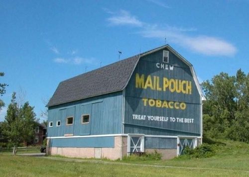
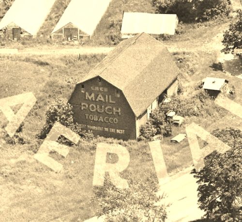
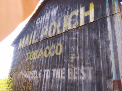
Along the west side of Akron Rd. (NY-93) east of S. Transit Rd. (NY-78) intersection, by 6-5 miles. The barn is on the right side of NY-93 headed south. The NY-93/NY-78 intersection is south of NY-31 intersection, in Lockport, by about 2.5 miles. The Mail Pouch sign faces south. One end. Blue background.
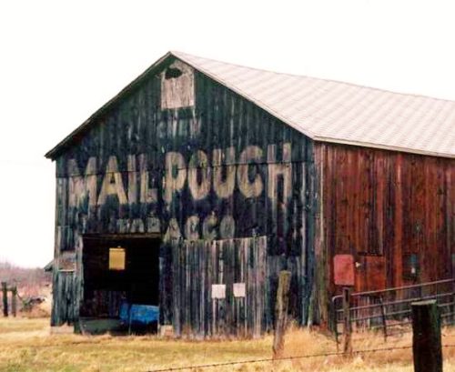
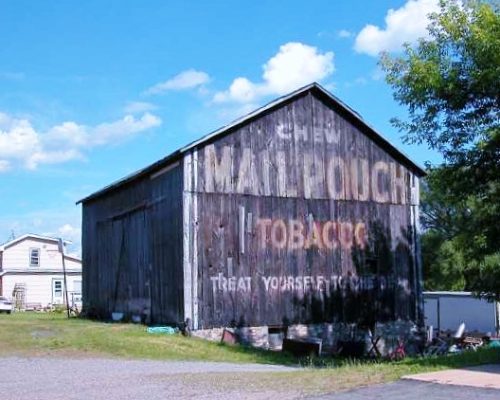
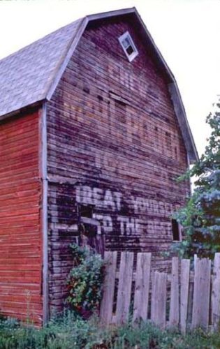
*GONE* (faded away) NY Rt. 31 (Saunders Settlement Rd.) east of NY Rt. 425 (Shawnee Rd.) by about 0.5 mile. The barn is on the left side of the highway headed east. The MP sign faces west. One end. Black. Greatly faded.
*GONE* (razed and removed) NY Rt. 104 (Ridge Rd.) east of NY Rt. 429 by about 1.0 mile. The barn was on the right side of the highway headed east. The MP sign faced west. One end. Black.
*GONE (fallen)* NY Rt. 93 (Akron Rd./Dysinger Rd.) east of NY Rt. 78 (S. Transit Rd.) by about 8.8 miles. Almost directly across from the Fisk Rd. intersection. The barn was on the right side of the highway headed south. The MP sign faced north. The NY Rt. 93/NY Rt. 78 intersection is south of NY Rt. 31, in Lockport, by about 2.5 miles. One end. Black.
*Probably GONE* Niagara Falls area near Lewiston. One end. Black. Greatly faded.
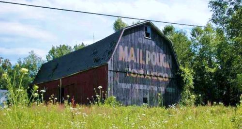
*GONE (razed and removed)* NY Rt. 77 (Chestnut Ridge Rd.) southeast of Mill Rd. intersection, in Terry's Corner by about 0.6 mile. The barn was on the right side of the highway headed southeast the Mail Pouch sign faced southeast. Red background.
*GONE* (razed and removed) Along the east side of Shawnee Rd (NY-425) north of Niagra Falls Blvd (US-62), in North Tonawanda, by 2.7 miles. The barn was on the right side of the highway headed north. The Mail Pouch sign was on the north end of the barn. One end. Black backgound.
