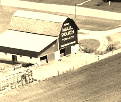
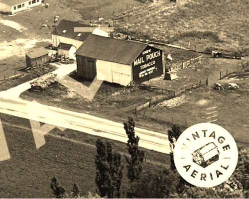
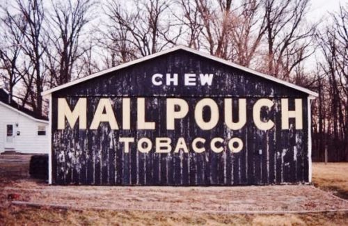
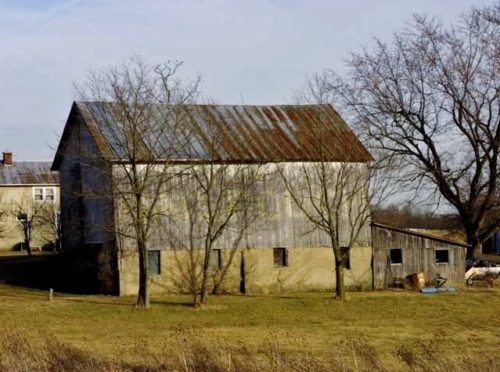
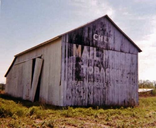
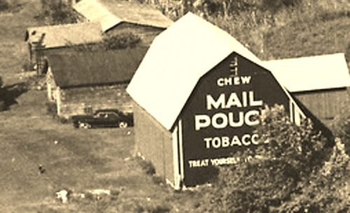
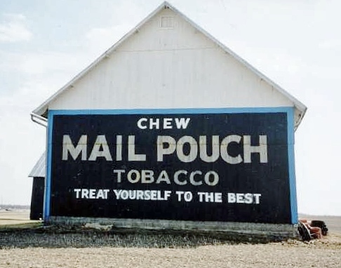
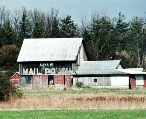
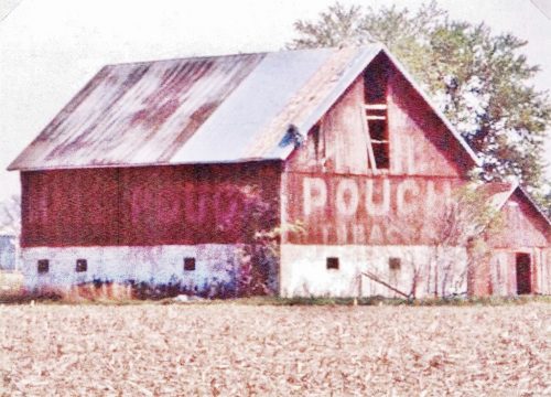
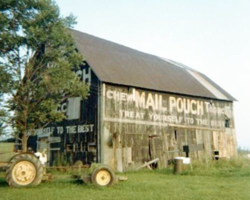
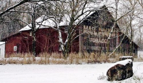
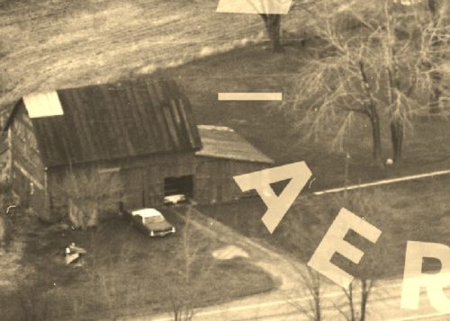
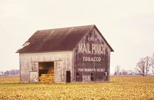
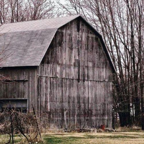
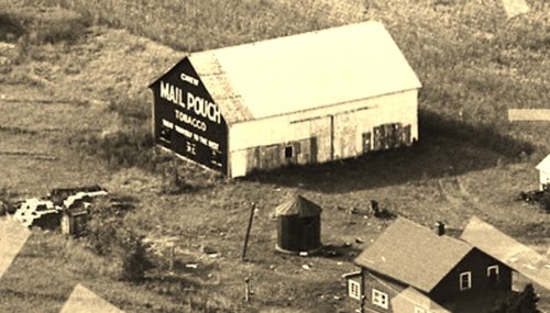
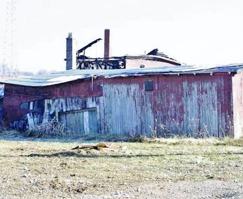
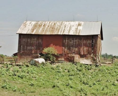
*GONE* (painted over) The barn is along the west side of OH-19 north of the intersection with OH-103 by 0.4 mile. The barn is on the left side of the highway headed north. The Mail Pouch sign faced south. One end. Black background.
*GONE* (razed and reemoved) Along the east side of Marion-Melmore Rd (T-1) north of the old Lincoln Hwy intersection, in Oceola, by 4.9 miles. The barn was on the right side of the road headed north from Oceloa. The Mail Pouch sign was on the south end of the barn. One end. Black background.
*GONE* (painted over) US Rt. 127 north of OH Rt. 47 by about 4.5 miles. The building is on the right side of the highway headed north. The MP sign faces south. One end. Black. Garage.
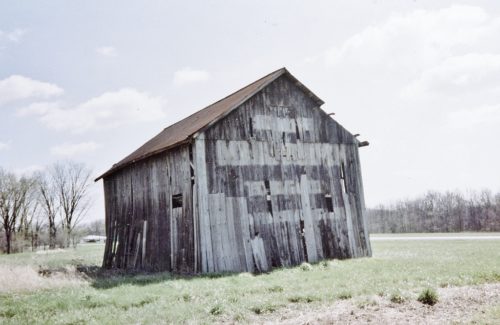
*GONE* OH Rt. 571 northwest of OH Rt. 49 by about 5.3 miles. The barn was on the left side of the highway headed northwest. The MP sign faced northwest. One side. Black faded to gray.
*GONE* (razed and removed) This barn was located at the north end of Versailles. The photograph was taken from the east looking west. The Mail Pouch sign faced east. One end. Black.
OH Rt. 18 (Defiance Ave.) west of OH Rt. 15 by about 3.0 miles. Just west of Dowe Rd. The barn is on the left side of the highway headed southwest. The MP sign faces southwest. One end. Original black faded to gray. Greatly faded.
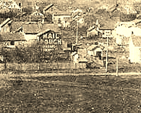
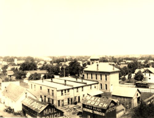
*GONE* The site in Photos 1 &2 is located at the southeast corner of the Ottawa Ave & Hopkins St intersection, in Defiance. Two barns. Multiple MP signs on the roofs, ends and sides. Black.
*GONE (razed and removed)* Along the northwest side of CR-424 (old US-24) northeast of the intersection with US-127 by 2.6 miles. The barn was on the left side of the road headed northeast from US-127. The Mail Pouch sign faced southwest. One end. Black Background.
*GONE* (razed and removed) Along the east side of US-127 south of the intersection with US-6 by 1.0 mile. The barn was on the right side of the highway headed south from US-6. The Mail Pouch sign faced east. One end. Black Background.
*GONE (razed and removed)* US Rt. 23 just south of the Marion County line. The barn was on the right side of the highway headed south. The MP sign faced north. One end. Black.
*GONE (Painted over)* US Rt. 36 (Marysville Rd.) southwest of Delaware by about 3.5 miles. The barn is on the right side of the highway headed southwest. The MP sign faces southwest. One side. Sign has been painted red.
*GONE (razed and removed)* On the northwest side of Co. Rd. 65 (County Home Rd./Cackler Rd.), northeast of the intersection with US-42 W by 0.4 mile. One end faced southeast. One side faced southwest. Original Black Backgrounds. Greatly faded prior to removal.
*GONE* (razed and removed) Along the southeast side of US-36 northeast of the intersection with Columbus St. (OH-61), in Sunbury, by 4.0 miles. The barn was on the right side of the highway headed northeast. Two Mail Pouch signs. One end facing north and one side facing east. Black Backgrounds.
*GONE* (razed and removed - replaced with new structure) OH Rt. 257 south of OH Rt. 37 by about 0.8 mile. The barn is/was on the right side of the highway headed south. The sign face north. One end. Black. Greatly faded. Barn is very poor condition.
*GONE* (razed & removed - a garage now in the location) Along the west side of US-42 W, south of the intersection with OH-229 (High St), in Ashley, by 0.8 mile. The barn was on the right side of the highway headed southwest from Ashley. The Mail Pouch sign faced southwest. One end. Red Background.
*GONE (painted over)* OH-113 W west of US- 250/OH-13 by about 0.75 mile. On the right side of the highway headed west. Two ends. Black backgrounds.
*GONE (faded away)* US Rt. 6 (Venice Rd.) west of intersection with OH Rt. 101, in Sandusky, by a little over 1.0 mile. The barn is on the left side of the highway headed west. The MP sign faces west. The barn is almost directly across the highway from the entrance to the Toft Dairy. The barn sits back off the road in a grove of trees. One end. Black Background.
*GONE* (razed and the entire site cleared) Along the west side of Columbus-Sandusky Rd. (OH-4), south of intersection 110 of the Ohio Turnpike (I-90), by 0.8 mile. The barn was on the right side of the road headed southwest. The Mail Pouch sign faced southwest. One end. Black Background.
*GONE (razed and removed)*Along the north side of the Chillicothe Lancaster Rd (OH-259) southwest of the intersection with US-22 by 0.1 mile. The barn was on the right side of the road headed southwest from US-22. The Mail Pouch sign faced southwest. One side. Black Background.
*GONE* (faded away)OH Rt. 158 (Lancaster Kirkersville Rd.) north of Lancaster by about 5.0 miles. The barn is south of Co. HWY 21 (Carroll Eastern Rd. NW) by about 1000'. The barn is on the right side of the highway headed north from Lancaster. Two Mail Pouch signs. One sign on the west side and one sign on the south end. Black Backgrounds.
