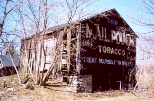
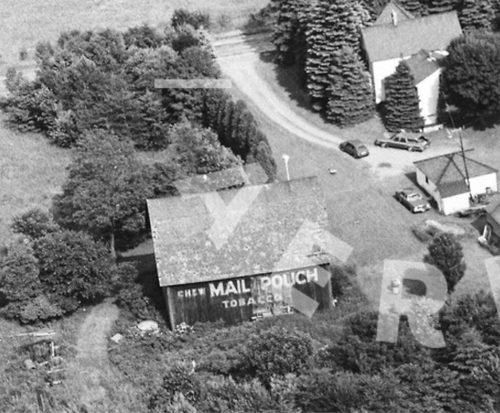
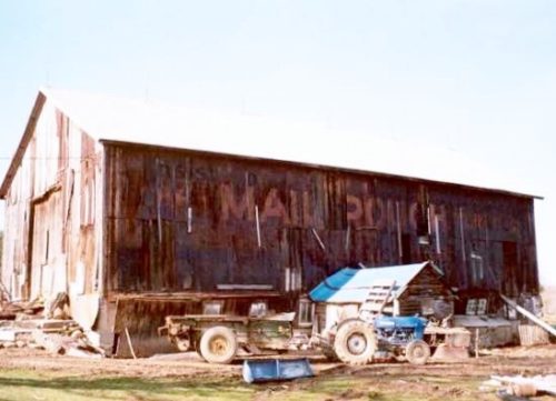
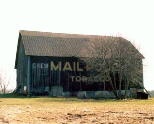
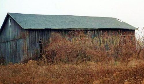
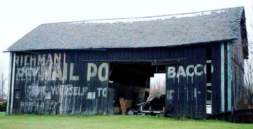
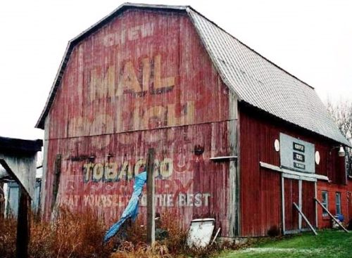
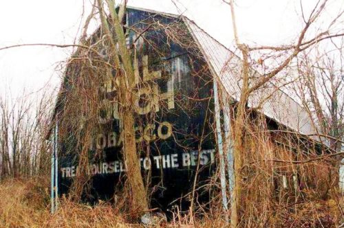
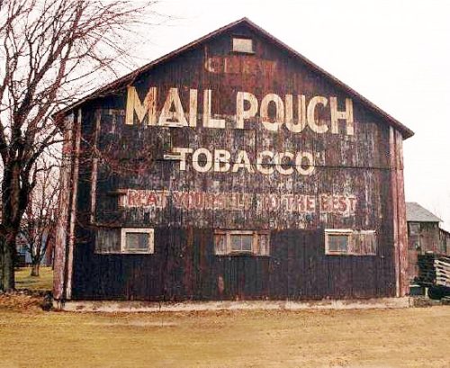
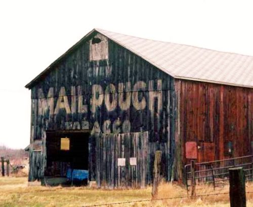
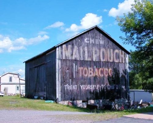
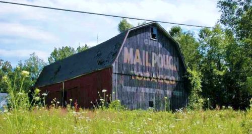
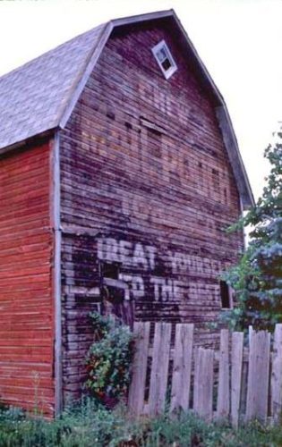
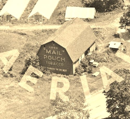
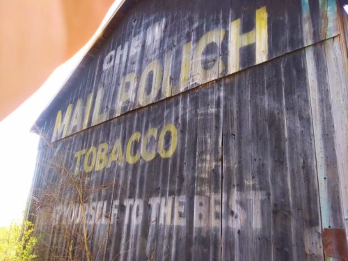
*GONE (fallen and removed)* NY Rt. 354 (Clinton St.) east of US Rt. 20/NY Rt. 78 (Transit Rd.) by about 2.9 miles. Just past the intersection with Bowen Rd. The barn was on the left side of the hgihway headed east. The MP sign faced east. One end. Black.
*GONE* (razed and removed) Along the west side of S. Protection Rd. (T-392) north of the intersection with Olean Rd (NY-16) by 0.8 mile. The barn was on the left side of the road headed north. The Mail Pouch sign was on the west side of the barn and faced Olean Rd (NY-16). One side. Black background.
*GONE* (fallen and removed) NY Rt. 39 west of US Rt. 219, at Springville, by about 1.2 miles. The barn was on the right side of the highway headed northwest The MP sign faced southeast. One side. Black.
*GONE* (fallen) NY Rt. 39 west of US Rt. 219 by about 1.0 mile. The barn was on the left side of the highway headed west. The MP sign faced north. One side. Black. Greatly faded.
*GONE (fallen)* NY Rt. 33 (Genesee St.) east of NY Rt. 78 (Transit Rd.) in Bowmansville by about 4.0 miles. The barn was on the right side of the highway headed east. The MP sign faced west. One side. black.
*GONE* (fallen and removed) NY Rt. 33 (Genesee St.) east of NY Rt. 78 (Transit Rd.) in Bowmansville by about 9.7 miles. The barn was on the left side of the highway headed east. The MP sign faced east. One side. Black.
*GONE* (painted over) NY Rt. 33 (13296 Genesee St.) west of NY Rt. 77 (Allegheny Rd.), in Corfu, by about 4.5 miles. The barn is on the right side of the highway and very difficult to see because of the houses and the trees. Two ends. Red.
*GONE* (razed and removed) NY Rt. 270 (Campbell Blvd.) north of NY Rt. 263 (Millersport Hwy.), in Getzville, by about 2.2 miles. The barn was on the right side of the highway headed north. The MP sign faced north. One end. Black.
NY Rt. 270 (Campbell Blvd.) north of NY Rt. 263 (Millersport Hwy.), in Getzville, by about 3.1 miles. The barn is on the right side of the highway headed north The MP sign faces south One end. Black.
Asbury Rd. south of NY Rt. 5 (E. Main Rd.) by about 2.2 miles. The NY Rt. 5 & Asbury Rd. intersection is east of NY Rt. 19 (Lake St./Clay St.), in LeRoy, by about 1.4 miles. The barn is on the left side of Asbury Rd. headed south. The MP sign faces north. One end. Black.
*GONE* (faded away and subsequently painted over) NY Rt. 33 (Clinton Street Rd.) northeast of NY Rt. 5 (E. Main St.), in Batavia, by about 7.4 miles. The barn is on the left side of the highway headed northeast. The MP sign faces southwest. One side. Original black. Greatly faded and overpowered by a 'ghost' GROTON sign.
Along the west side of Akron Rd. (NY-93) east of S. Transit Rd. (NY-78) intersection, by 6-5 miles. The barn is on the right side of NY-93 headed south. The NY-93/NY-78 intersection is south of NY-31 intersection, in Lockport, by about 2.5 miles. The Mail Pouch sign faces south. One end. Blue background.
*GONE* (faded away) NY Rt. 31 (Saunders Settlement Rd.) east of NY Rt. 425 (Shawnee Rd.) by about 0.5 mile. The barn is on the left side of the highway headed east. The MP sign faces west. One end. Black. Greatly faded.
*GONE* (razed and removed) NY Rt. 104 (Ridge Rd.) east of NY Rt. 429 by about 1.0 mile. The barn was on the right side of the highway headed east. The MP sign faced west. One end. Black.
*GONE (fallen)* NY Rt. 93 (Akron Rd./Dysinger Rd.) east of NY Rt. 78 (S. Transit Rd.) by about 8.8 miles. Almost directly across from the Fisk Rd. intersection. The barn was on the right side of the highway headed south. The MP sign faced north. The NY Rt. 93/NY Rt. 78 intersection is south of NY Rt. 31, in Lockport, by about 2.5 miles. One end. Black.
*Probably GONE* Niagara Falls area near Lewiston. One end. Black. Greatly faded.
*GONE (razed and removed)* NY Rt. 77 (Chestnut Ridge Rd.) southeast of Mill Rd. intersection, in Terry's Corner by about 0.6 mile. The barn was on the right side of the highway headed southeast the Mail Pouch sign faced southeast. Red background.
*GONE* (razed and removed) Along the east side of Shawnee Rd (NY-425) north of Niagra Falls Blvd (US-62), in North Tonawanda, by 2.7 miles. The barn was on the right side of the highway headed north. The Mail Pouch sign was on the north end of the barn. One end. Black backgound.
NY Rt. 208 (Ulster Ave.) north of NY Rt. 52 (Main St..), in Walden, by about 1.3 miles to a point on the highway where the barn is visible, on the right, in the distance. Plaque style MP sign mounted on the barn. Black.
*GONE* (fallen) NY Rt. 31 (Maple Ridge Rd./Telegraph Rd., in Middleport) east of NY Rt. 271 (S. Main St./Freeman Rd.), in Middleport, by about 1.5 miles. Almost directly across from the Hoffman Rd. intersection. The barn rubble is on the right side of the highway headed east. The MP sign faced west. One end. Black.
