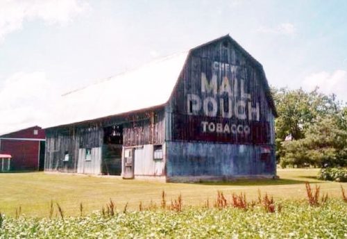
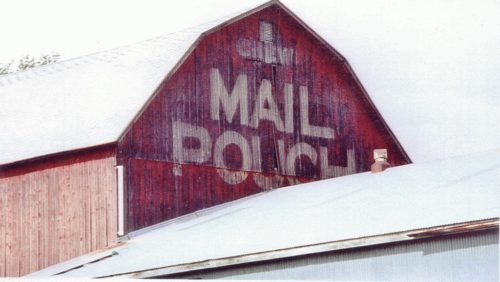
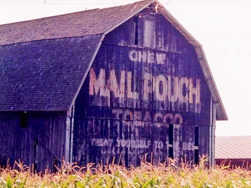
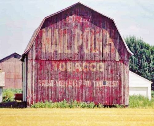
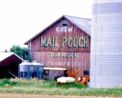
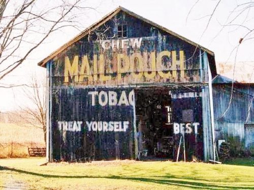
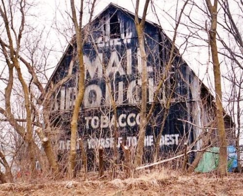
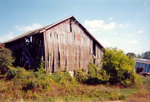
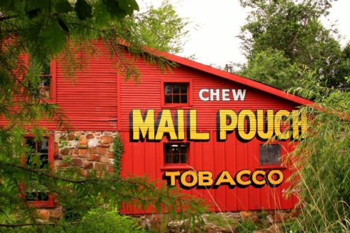
Along the east side of Emmett Rd. (MI-19) north of I-69 (exit 184) by about 2.2 miles. From I-69 exit 184 head north on Main St. to Emmett. MI-19 becomes Kinney Rd. leaving Emmett and then becomes Emmett Rd. The barn is on the right side of the highway headed north. The Mail Pouch sign faces north. One end. Black background . Greatly faded (This sign may be faded away, see 'Other Information').
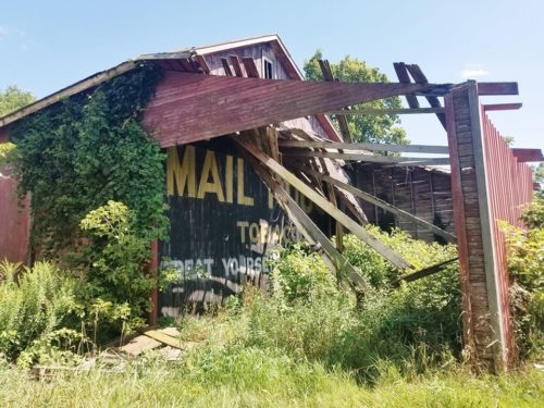
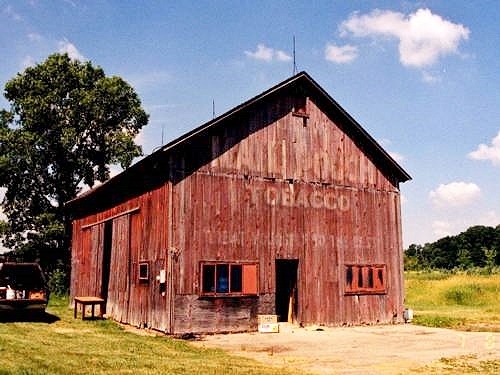
Along the north side of Lapeer Rd. (old State Hwy. 21) west of I-69 by about 4.6 miles. From I-69 exit 194 take Bath Rd. north 0.6 mile to Lapeer Rd. Make left onto Lapeer Rd. and travel west 4.0 miles to the barn on the right side of the road. The Mail Pouch sign faces east. One end. Black Background. Greatly faded (see 'Other Information').
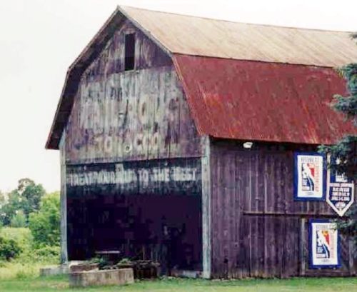
Along the north side of Lapeer Rd. east of the intersection with Wadhams Rd., in Wadhams, by 1.7 miles. The barn is on the left side of Lapeer Rd. headed east out of Wadhams. The Mail Pouch sign faces east. Black background. Greatly faded.
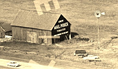
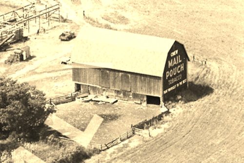
*GONE* Along the south side of W. Chicago Rd. (US-12) west of the intersection with US-131, in White Pigeon, by about 1.9 miles. The barn was on the left side of the highway headed west. The Mail Pouch sign faced west. One end. Black background.
*GONE* (faded away) Along the northwest side of Lansing Rd. (old MI-78), at the intersection with W. Church Rd., east of MI-52 (N. Main St.), in Perry, by about 3.0 miles. The barn is on the left side of the road headed northeast. The Mail Pouch sign faced east. One end. Original Black background.
*GONE* MI Rt. 52, north of Owosso. One end. Black background.
*GONE* (razed and removed) Along the southwest side of W. Saginaw Rd. (MI-15) northwest of Main St., in Vassar, by 2.3 miles. The barn was on the left side of W. Saginaw St. headed northwest from Vassar. The Mail Pouch sign faced west. One end. Original black background.
*GONE* (faded away) Along the west side of M-40 (MI-40) south of Van Buren St., in Gobles, by about 2.6 miles. The barn is on the right side of the highway headed south. The Mail Pouch sign faced south. The barn is almost impossible to see because of the other buildings on the site. One end. Red background.
*GONE* (razed and removed) Along the southeast side of Red Arrow Hwy. east of Center St.,Hartford, by about 1.9 miles. The barn was on the right side of the highway headed northeast. Two ends. Black backgrounds.
*GONE* (faded away) Along the northwest side of E. Michigan Ave. (US-12) southwest of Ann Arbor St., in Saline, by about 2.8 miles. The barn is on the right side of the highway headed southwest. The Mail Pouch sign faced northeast. One end. Red background.
*GONE* (razed and removed) Along the northwest side of W. Michigan Ave. (US-12) southwest of Ann Arbor St., in Saline, by about 4.8 miles. The barn was on the right side of the highway headed southwest. The Mail Pouch sign faced northeast. One end. Black background.
Along the south side of Ann Arbor Rd (Plymouth Rd.)., northeast of US-23, in Ann Arbor, by about 6.2 miles. Exit US-23 and head east on Plymouth Rd. Plymouth Rd. becomes Plymouth-Ann Arbor Rd. The barn is on the right side of the road headed east. The Mail Pouch sign faces east. This barn is very difficult to see from the road. One end. Black background. Greatly faded (see 'Other Information').
*GONE* (painted over) Along the southeast side of W. Michigan Ave. (US-12) southwest of Ann Arbor St., in Saline, by about 4.5 miles. The barn is on the left side of the highway headed southwest. Two ends. Red backgrounds.
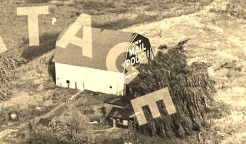
*GONE* (fallen) Along the east side of Carpenter Rd. south of Packard Rd., in Ypsilanti, by about 4.7 miles. The barn was on the left side of the road headed south behind trees and very difficult to see. The Mail Pouch sign faced south. One end. Black background.
US Rt. 12 near Saline.
Red Oak II off Kafir Rd. east of MO-137 by about 1.4 miles. From MO-96 (Central Ave.), in Carthage, head north of MO-571 (N. Garrison Ave.) approximately 1.7 miles to MO-137. Bear right onto MO-137 and follow about 0.8 mile to Kafir Rd. Make right onto Kafir Rd and travel to entrance to Red Oak II about 1.4 miles. One side. Red.
Near Springfield. New sign, painted by Benjamin Fidler. One end on new barn.
68 Water St., in Lebanon. On the right side of Water St. headed east past the intersection with Schoolhouse Lane., by about 500'. Approximately 400' southwest of the intersection with Rockaway Rd., where Water St. turns into Main St. One side. Red.
CR-645 (Layton-Hainesville Rd.) north of CR-560 (Tuttles Corner Dingmans Rd.), in Layton, by about 0.4 mile. The barn is on the right side of the road headed north. The Mail Pouch sign faces north. One side. Black background on a red barn.
NY Rt. 417 (Portville-Ceres Rd.) southwest of the Wellsville St. (NY Rt. 417)/Main St. (NY Rt. 275) intersection, in Bolivar, by about 4.2 miles. The barn is on the right side of the highway headed southwest. Two ends. Black. The MP sign facing northeast is in good condition. The MP sign facing southwest is greatly faded.
