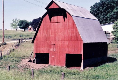
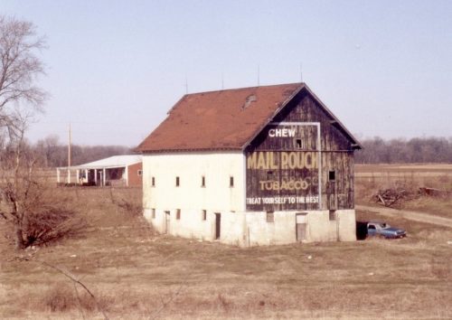
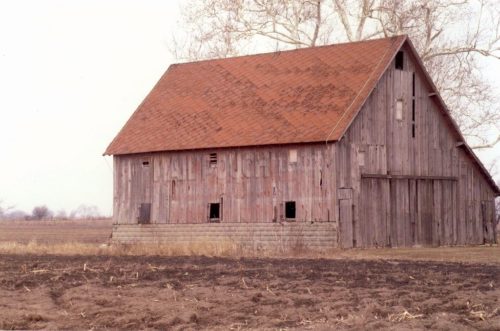
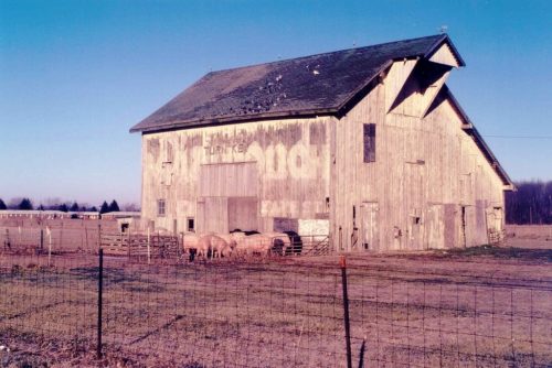
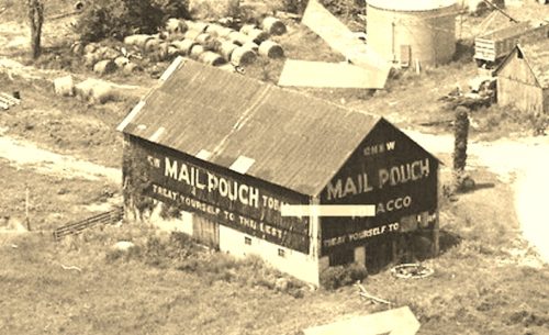
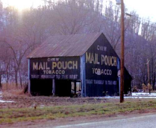
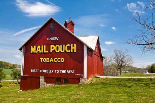
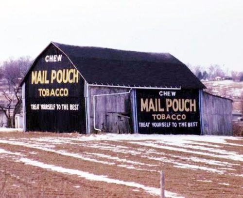
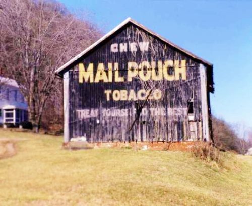
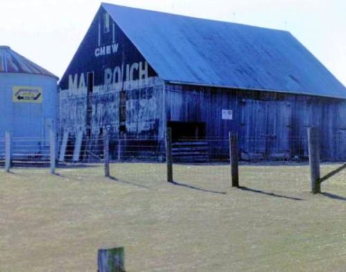
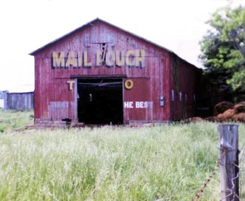
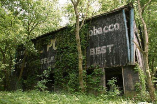
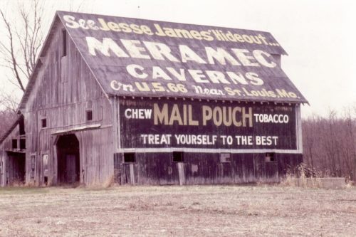
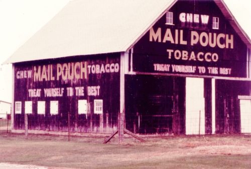
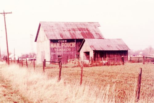
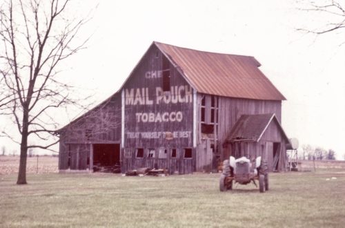
*GONE* (painted over) US-231/IN-67 northeast of IN-157 , in Worthington, by about 2.3 miles. At the northwest corner of the intersection with CR-800 N. The barn is on the left side of the highway headed northeast. The Mail Pouch sign faced east. One end. Original Black background.
*GONE* (razed and removed) Along the north side of Westfield Rd. (IN-32) west of the River Rd. Traffic Circle, in Noblesville, by 1.1 miles. The barn was on the right side of the road headed west out of Noblesville. The Mail Pouch sign faced east. One end. Black background.
*GONE* (razed and removed) Along the west side of IN-9 north of Junction St., in Maxwell, by 1.4 miles. The barn was on the left side of IN-9 headed north out of Maxwell. The Mail Pouch sign faced south. One side. Red background.
*GONE* (fallen and removed) Along the north side of National Rd. (US-40) west of State St. (IN-9), in Greenfield, by 8.1 miles. The barn was on the right side of the highway headed west from Greenfield. The Mail Pouch sign faced south. One side. Black background.
*GONE* (painted over) along the west side of IN-9 north of the Junction St. intersection, in Maxwell, by 1.2 miles. The barn is on the left side of the highway headed north out of Maxwell. Two ends. Red backgrounds.
*GONE* (razed and removed) Along the southwest side of US-52 southeast of the intersection with Depot St., in New Palestine, by 3.1 miles. The barn was on the right side of US-52 headed southeast from New Palestine. Two ends. Unknown original background color.
Along the southside of IN-62 east of IN-462 by 0.4 mile. The barn is on the right side of the highway headed east. The Mail Pouch sign faces west. One end. Black background.
*GONE* (sign converted) Along the southwest side of IN-62 (Ohio River Scenic Byway) southeast of IN-135 by 1.0 mile. The barn is on the right side of the highway headed southeast. One end. Red background.
*GONE* (covered over) Along the west side of IN-135 south of IN-62 by 8.4 miles. The barn is on the right side of the highway headed south. East end. South side. Original Black Backgrounds. Covered with white siding.
*GONE* (fallen and removed) IN-211 northwest of IN-111 (River Rd. SE) by 400'. The barn was on the left side of the highway headed northwest. One end. One side. Black Background.
Along the northwest side of IN-62 west of IN-11 by 3.0 miles. The barn is on the right side of the highway headed southwest. Two ends. Red.
*GONE* (fallen - some rubble remains) Along the southwest side of IN-62 northwest of the IN-135 intersection, in Corydon, by 2.2 miles. The barn was on the left side of the highway headed northwest away from Corydon. The Mail Pouch side faced north. The Mail Pouch end faced east. Black Backgrounds.
*GONE* (razed and removed) Along the west side of IN-111 south of IN-211 intersection by 1.9 miles. The barn was on the right side of the highway headed south from IN-211. Two ends. Black Backgrounds.
*GONE* (razed and removed - steel bin remians) Along the southwest side of US-150 west of the Green St. NE (IN-135) intersection, in Palmyra by 2.9 miles. The barn was on the left side of the highway headed northwest from Palmyra. The Mail Pouch sign faced southeast. One end. Black Background.
*GONE* (fallen - rubble remains) Along the east side of Old IN-135 south of IN-337 intersection, in Corydon, by 0.8 mile. The barn rubble is along the left side of the highway headed south from Corydon. The Mail Pouch sign faced north. One end. Red Background.
*GONE (MP sign removed - moved nd reinstalled in The American Sign Museum, in Cincinnati, Ohio)* Along the south side of IN-62, west of the Crestview Ave. intersection, in Lakeview, by 2.4 miles. The barn was on the left side of the highway headed west from Lakeview. The barn was visible in the woods and accessible through a field, across Little Indian Creek, up a rise to the left. The Mail Pouch sign faced north. One side. Black Background.
*GONE* (painted over) Along the northwest side of US-40 (Old National Pike/Cumberland St.) northeast of Morgan St. (IN-39), in Belleville, by about 0.75 mile. The barn is on the left side of the highway headed northeast. The Mail Pouch sign faced northeast. One side. Black background.
*GONE* (razed and removed) Along the west side of IN-39 (Co. Rd. 100 W./N. State St.) south of US-136 (W. Main St.), in Lizton, by 3.4 miles. The barn was on the right side of the highway headed south. Mail Pouch end faced north. Mail Pouch side faced east. Original black backgrounds.
*GONE* (razed and removed) Along the north side of E US-136 (W. Main St.) west of Maple St. intersection, in Pittsboro, by 1.2 miles. The barn was on the right side of the highway headed west. Two sides. Black backgrounds.
*GONE* (fallen and removed) Along the north side of US-36 (Ernie Pyle Memorial Hwy.) west of IN-75 (N. Co. Rd. 700 W), in New Winchester, by 1.1 mile. The barn was on the right side of the highway headed west. The Mail Pouch sign faced west. One end. Black background.
