Other Information
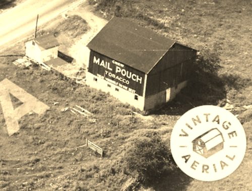
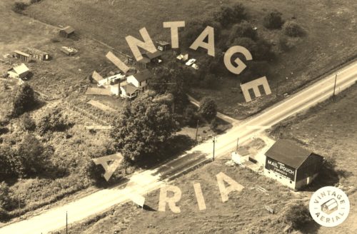
Photo 1 is an enlarged inset view from Photo 2.
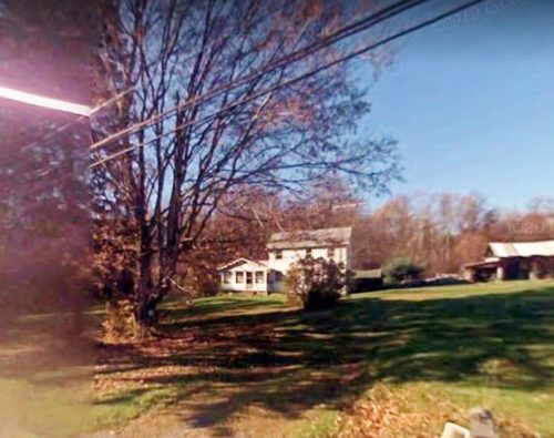
Photo 3 (Google street view) shows that the house, shown in Photo 2 was still standing in Nov. 2008.
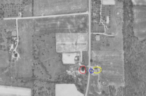
Photo 4 (Penn Pilot view) the Mail Pouch barn is circled in yellow. The small building to the left of the barn, in the Photo is circled in blue; and, the house across Perry Hwy. is circled in red.
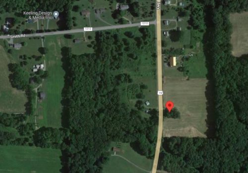
Photo 5 (Google satellite image) the red pin locates where the Mail pouch barn once stood. The pin was used to determine the address and the coordinates.
Where to find it *GONE* (razed and removed) Along the east side of Perry Hwy. (US-19) north of Franklin Rd. (US-62), in Mercer, by 13.2 miles. The barn was on the right side of US-19 headed north from Mercer. The Mail Pouch sign faced south. Because of the configuration of the barn to the highway, it is possible that there was a Mail Pouch sign on the north sidee of the barn. Black Background.
