Other Information
The Mail Pouch barn and the house west of the barn are clearly visible in Historic Aerials' imagery (1990). The distance measurement tool was used to obtain the decimal coordinates of the barn. The coordinates were input to the Google map program and in Photo 4 the red pin is where the Mail Pouch barn once stood. The coordinates were used to determine the address for the entry.
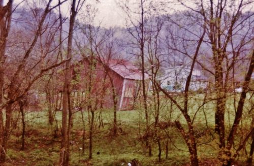
Photo 4 is an enlarged inset view from Photo 5. These are earlier views than those in Photo 1-3 and by the time Larry Zinn visited the site in 1990 the south side barn extension had fallen and had been removed.
The white house in the distance, beyond the Mail Pouch barn, has also been razed and removed.
Where to find it *GONE* (razed and removed) Along the west side of WV-152 north of the 'turnaround' in Radnor, by 1.5 miles. The barn was on the left side of WV-152 headed north. The Mail Pouch signs faced north and south. Two sides. Red backgrounds.


