MPS 48-35-08

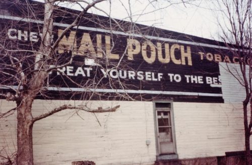
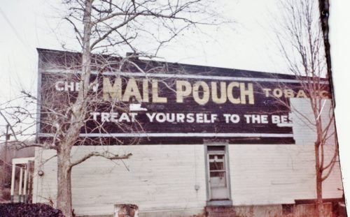
Photo 1
Sides Painted
1
Color
Black
Structure
Other Building
Unique Characteristics
None
Still Standing
No
Credits

Photo 1 by Martha Dougherty (ca, 1985). 

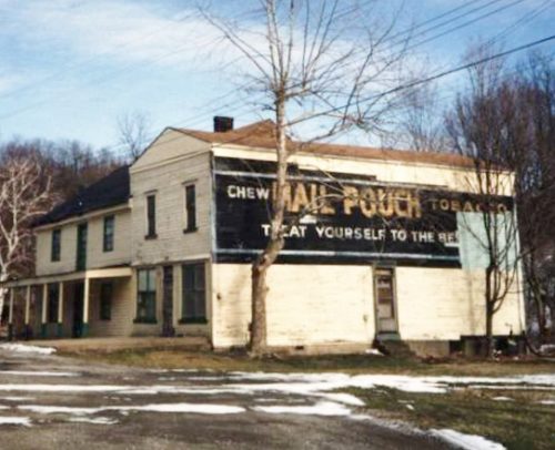
Photos 2 & 3 by Larry Zinn (Jan. 1988 - contributed by Butch Moon). 

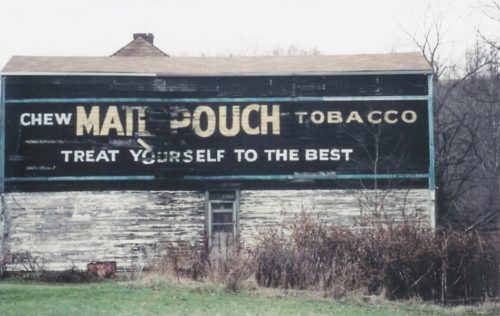
Photo 4 by Bill Plack (1990).

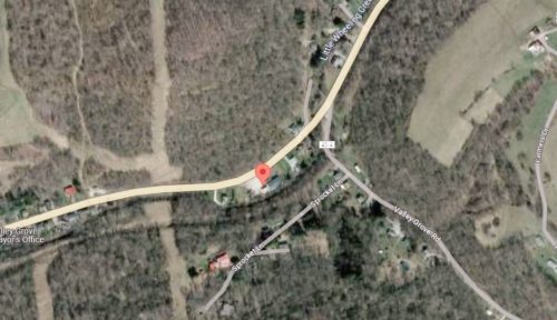
Photo 5 Google satellite image.
Other Information

The building is celarly visible in Historic Aerials' imagery (1973/1982). The distance measurement tool was used to obtain the decimal coordinates for the building. The coordinates were input to the Google map program and the red pin on Photo 5 is the location where the building once stood. The decimal coordinates were used to determine the address for the entry.
Where to find it

*GONE* Along the southeast side of US-40 (National Highway) west of the WV/PA state line by 3.0 miles. The two-story frame building was on the left side of the highway headed southwest from the WV/PA state line. The Mail Pouch sign faced southwest. One side. Black background.
Address
11716 National Rd (US-40)
City
Valley Grove
State
WV
Zipcode
26060
Country
USA
Latitude
N 40° 05.3240'
Longitude
W -80° 33.8306'
lat
40.088733
lng
-80.563844
  • Photo 2
  • Photo 3
  • Photo 4
  • Photo 5