MPB 22-44-01

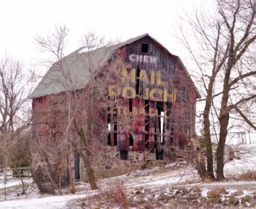
Photo 1
Sides Painted
1
Color
Black
Structure
Barn
Unique Characteristics
None, Gambrel Roof
Still Standing
No
Credits

Photo 1 by Sherry Binkowski.

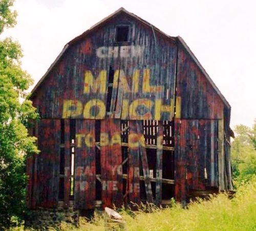
Photo 2 by Mark Comstock (2004).

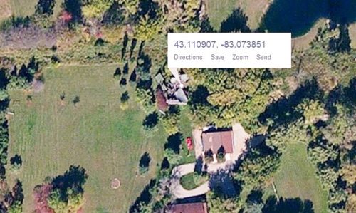
Photo 3 Bing Map.

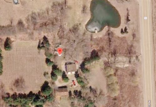
Photo 4 Google satellite image.
Other Information

Photo 3 (Bing map) is a satellite view showing the fallen barn.
Where to find it

*GONE* (fallen) Along the west side of N. Van Dyke Rd.(MI-53) north of Armstrong Rd, in Goodland by about 1.2 miles. The barn was on the left side of the highway headed north. the Mail Pouch sign faced north. One end. Black background.
Address
2553 N Van Dyke Rd (MI-53)
City
Imlay City
State
MI
Zipcode
48444
Country
USA
Latitude
N 43° 06.65'
Longitude
W -83° 04.43'
lat
43.110907
lng
-83.073851
  • Photo 2
  • Photo 3
  • Photo 4