Credits
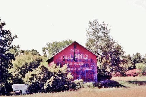
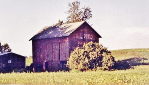
Photos 1 & 2 by John McGraw.
Photo 3 by Mark Comstock (2004).
Photos 4-6 by unknown.
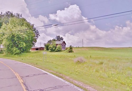
Photo 7 Google street view (July 2014).
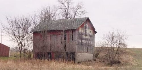
Photo 8 by Jay Harrison (Nov. 2019).
Photo 12 by Brian Watkins (Mar. 28, 2023).
Other Information
Photos 9-11 submitted to Mail Pouch Facebook page by Stacee Gordon.
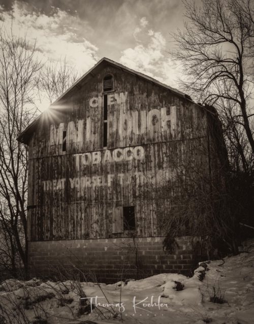
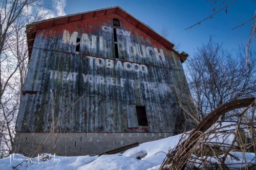
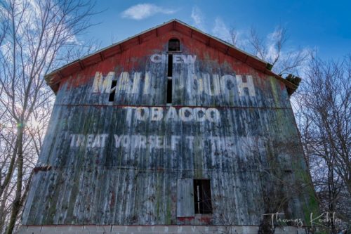
This barn is scheduled for demolition in the near future (post Feb. 2023) to make way for a new Meijer store.
On March 15, 2023, Sherry Gillett Binkowski provided the following update on the Mail Pouch sign: "Exciting news from the Hillsdale County Historical Society! We are happy to announce we have been in communication with the Meijer corporation about acquiring the siding from the Mail Pouch Tobacco barn on West Carleton Road. In early April, the siding will be disassembled and moved to a safe location for preservation and future display at the Poorhouse. We are so glad Meijer values the preservation of historical site in our community and their willingness to take the siding down and get it to a storage location for us. A special thank you also to our board member, Morgan Morrison who was in contact with Meijer and made this happen for us."
March 28, 2023 update by Brian Watkins (Photo 12); "The Mail Pouch siding is being removed from the barn in Hillsdale, Mi. on the Meijer property today. Once it’s been removed, it will be taken the Hillsdale County Historical Society. Soon after, the barn will be destroyed."
Where to find it *GONE* (Mail Pouch sign removed - see 'other information') Along the west side of W. Carleton Rd. (MI-99) southeast of US-12 (W. Chicago Rd.) by about 2.3 miles. The barn was on the right side of the highway headed southeast. The Mail Pouch sign faced north. One end. Original black had been over painted red.
