Other Information
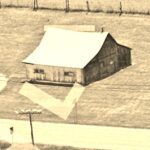
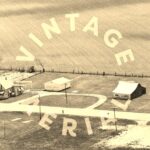
Photo 2 is an enlarged inset view from Photo 3. In the Photo 2 view the Mai Pouch sign 'CHEW' is barely visible.
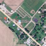
The barn and other buildings in the siteconfiguration are clearly visible in Historic Aerials' imagery (1956). The distance measurement tool was used to obtain the decimal coordinates of the barn. The coordinates were imput to the Google map program and the red pin on Photo 5 is the location where the barn once stood. The Vintage aerial records were then back-checked to see if a view was available in the collection.
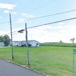
Photo 4 is a view looking in from US-52 toward where the barn once stood.
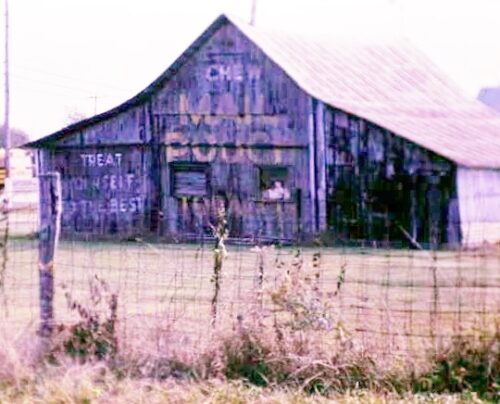
Where to find it *GONE* (razed and removed) Along the southwest side of US-52 northwerst of the intersection with 450 E, in New Salem, by 0.2 mile. The barn was on the left side of US-52 headed northwest out of New Salem. The Mail Pouch sign faced northwest.. One end. Black background.
