Other Information
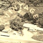
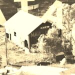
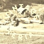
Photos 2, 4 & 6 are enlarged inset views from Photos 3, 5 & 7 respectively.
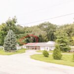
Photo 9 is a Google street view looking in from IN-67 toward the barn location. The buildings in the foreground hide the barn; however, the roof of the barn is visible in the trees at the rear and it is circled in red. It is unknown if the revised sign still remians or if the entire east end of the barn has been repainted and no signs exist.
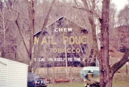
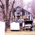
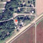
Where to find it *GONE* (MP sign modified and destroyed) Along the northwest side of IN-67 south of the intersection with IN-39 by 2.3 miles. The barn is on the right side of IN-67 headed southwest from IN-39. The Mail Pouch sign faced east. One end. Black background. If existing, now reads 'Chew Hill Side Gum'.
