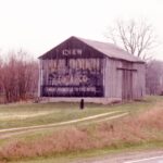
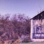
Credits
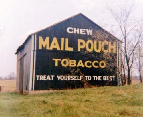
Photos 1 & 4 by Myron Huffman (ca. 1972).
Photos 2 & 5 by Tom Plimpton (ca.1981).
Photos 3 & 6 by Rick Curnutt (Nov. 1982).
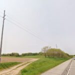
Photo 7 Google street view (May 2023).
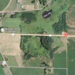
Photo 8 Google satellite image.
Other Information
The barn, the edge section of US-20 and the side road off of US-20 back toward the barn, in addition to the trees and shrubs, shown in the photos (particularly Photo 5) are clearly shown in Historic Aerials' imagery (1958 & 1981). The distance measurement tool was used to obtain the decimal coordinates for the barn. The coordinates were input to the Google map program and the red pin on Photo 8 is the location where the Mail Pouch barn once stood. The Historic Aerials' imagery shows the barn had been razed and removed by 1986.
Photos 1-3 are views of the west end of the barn.
Photo 4-6 are views of the east end of the barn.
Photo 7 is a Google street view looking in toward what would have been the east end of the barn.
Where to find it *GONE* (razed and removed) Along the south side of US-20 east of the Detroit St. intersection in LaGrange by 5.3 miles. Just east of Plato. The barn was on the right side of US-20 headed east from LaGrange. Two ends. Black backgrounds.
