Credits
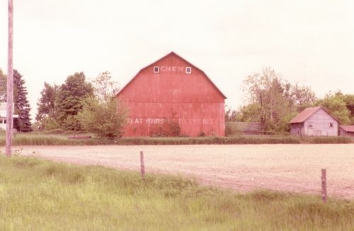
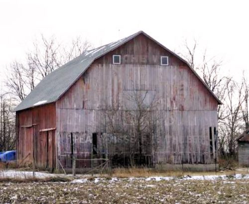
Photo 1 by Tom Plimpton (1983).
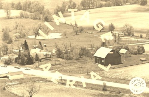
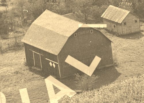
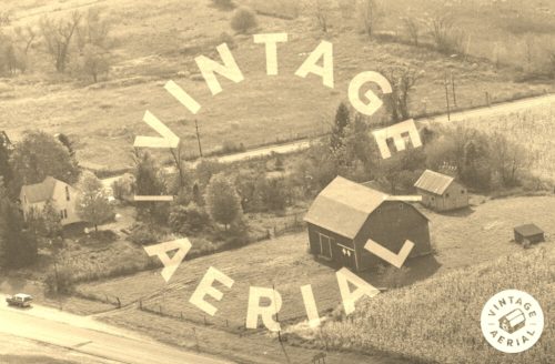
Photos 3 & 4 by unknown VA # 82-JFU-32 (1982) courtesy of
Vintage AerialPhoto 5 by unknown (2001).
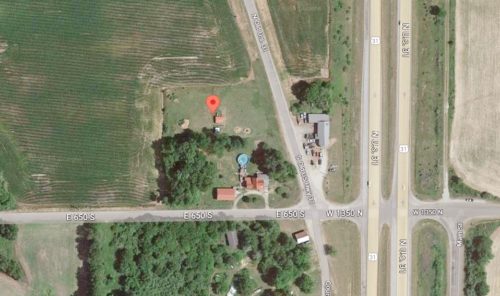
Photo 6 Google satellite image.
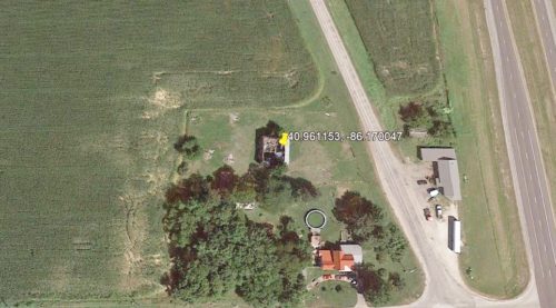
Photo 7 Google Earth Pro historic imagery (Aug. 23, 2013).
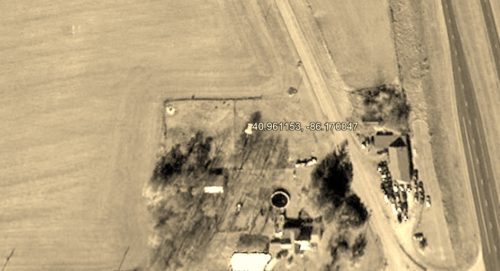
Photo 8 Google Earth Pro historic imagery (Nov. 2, 2015).
Other Information
Photo 3 is an enlaged inset view fron Photo 4.
Photo 2 the bleed through of the old Mail Pouch sign is barely distinguishable. The bleed through is more apparent in Photo 4 so the inlarged inset view (Photo 3) is provided to show the bleed through.
Historic imagery in Photos 7 & 8 show that by Aug. 2013 the barn roof had collapsed, and that by Nov. 2015 the remains of the barn had been removed.
Where to find it *GONE* (fallen and removed) Along the southwest side of Old US-31 (CR 400 E) south of US-31 by 5.8 miles. The barn was on the right side of the highway headed southeast. The Mail Pouch sign faced north. One end. Red background.
